Catalog Archive
Auction 128, Lot 388

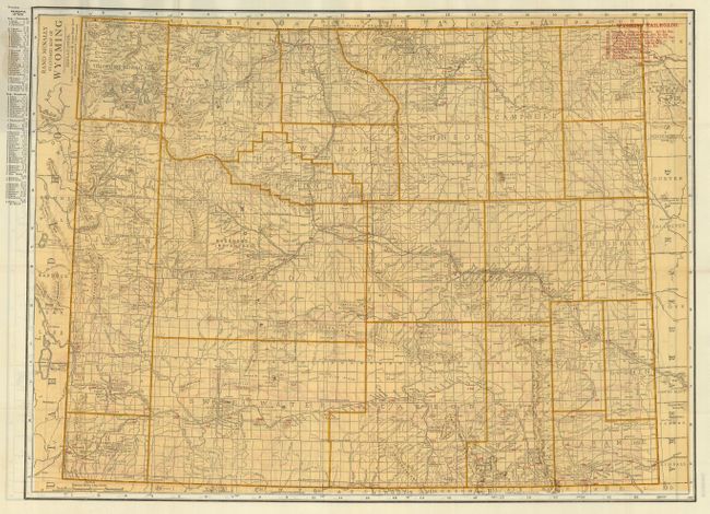
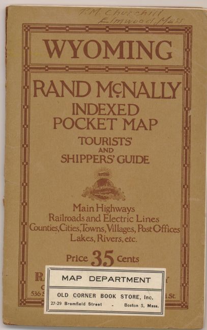
"Wyoming Rand McNally Indexed Pocket Map and Tourists' and Shipper's Guide. Main Highways Railroads and Electric Lines Counties, Cities, Towns, Villages, Post Offices, Lakes, Rivers, etc.", Rand McNally & Co.

Subject: Wyoming

Period: 1921 (circa)

Publication:

Color: Printed Color

Size:
26 x 19 inches
66 x 48.3 cm
Download High Resolution Image
(or just click on image to launch the Zoom viewer)

The uncommon pocket map " Standard Map of Wyoming" is printed in yellow with each county delineated with stronger color. Index at left keys to all cities in the state. At right red overprinting is used to name and locate ten railroads. On the verso is the same map with red overprinting to show Auto Roads. Excellent detail of Yellowstone National Park on both maps to include all features and routes in the park. The 19 page guide book uses populations from the 1920 census, plus several pages of illustrated advertisements. Original brown paper covers.

References:

Condition: A+

Map is fine with beautiful impression and no flaws. Booklet is clean and also fine, but loose from covers. Covers have a little roughness along centerfold and owner's name in ink on front above title and label from Old Corner Book Store in Boston.

Estimate: $100 - $140

Unsold

Closed on 5/20/2009

Archived