Catalog Archive
Auction 127, Lot 7

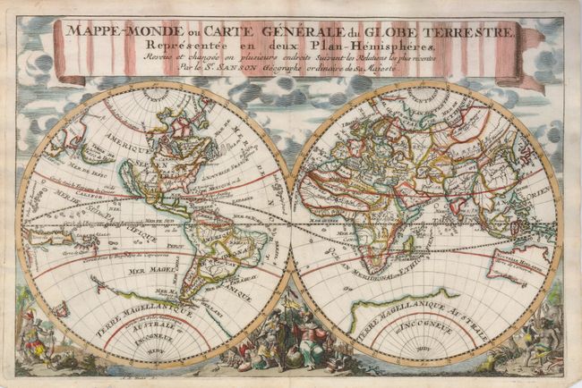
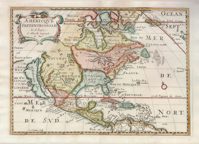
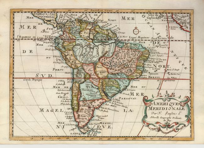
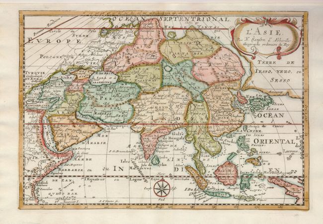
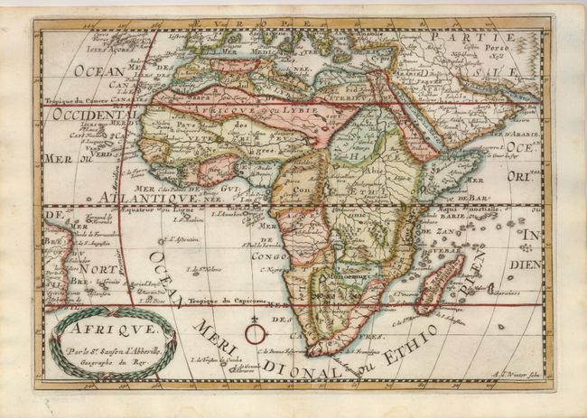
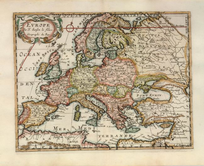
"[Lot of 6] Mappe-Monde ou Carte generale dy Globe Terrestre, Representee en Deux Plan-Hemispheres… [and] Americque Septentrionale [and] Amerique Meridionale [and] L'Asie [and] Afrique [and] Europe", Sanson, Nicolas

Subject: World & Continents

Period: 1700 (published)

Publication: Description de tout l'Univers

Color: Hand Color

Size:
11 x 7.7 inches
27.9 x 19.6 cm
Download High Resolution Image
(or just click on image to launch the Zoom viewer)

A fine set of maps from Sanson's pocket atlas engraved by Antoine de Winter. Image sizes vary slightly with the world map being slightly larger.

1) Mappe-Monde ou Carte generale du Globe Terrestre, Representee en Deux Plan-Hemispheres… is a double hemisphere map beautifully decorated with clouds at top and allegorical representations of the continents at bottom. California is shown as an island, Terre de Iesso stretches between Asia and North America, there is a bit of Nouvelle Zeelande that connects to the coastline of the mythical Terre Magellanique, and Australia is only partly mapped.
2) Americque Septentrionale shows California as an island with the indented northern coast from Luke Foxe's information. All five Great Lakes are shown but they are still misshapen and the western shores of Lake Superior and L. des Puans (Lake Michigan) are left open-ended. The Apaches are shown as the dominant tribe of Nouveau Mexique where the R. de Nort originates in a lake above Santa Fe and flows southwest to the Mar Vermeio. The British colonies are shown simply as Nouvelle Angleterre and Virginie.
3) Amerique Meridionale presents a myriad of natives kingdoms and the Portuguese captaincies in Brazil. The mythical Parime Lake straddles the equator and the Lac de Eupana ou de los Xarayes is the headwaters of the Rio de la Plata.
4) L'Asie depicts an attractive and intriguing view of the continent and the East Indies with the cartography of the larger Sanson map of 1652. This map shows a large, dramatic version of Terre de Iesso, drawn from the discoveries of the Maarten de Vries expedition of 1643. Here Sanson incorporated De Vries information by combining Hokkaido and the southern Kurils into a huge island, shown with the two place names of le Tessoy P and Matzumay. Korea is depicted as an island. This version of the map extends another 10° west to include part of New Guinea, identified here as the Terre de Papous.
5) Afrique is a reduced version of Sanson's 1656 map of Africa. It is a detailed map of the continent that includes the Arabian Peninsula, the Canary and Cape Verde Islands, Madagascar as well as several other islands and a little of the coastline of Brazil. The Nile originates in two, spurious large lakes just north of the fictional Monts de la Lune. The title is enclosed in a wreath style cartouche.
6) Europe is a delicately engraved map of the continent with a small compass rose and a nice cartouche.

References: 1) Shirley #553. 2) Burden #545; McLaughlin #89. 4) cf Yeo #47. 4) Betz #129.2.

Condition: A+

There is a tiny fold separation at bottom of the world map that has been expertly repaired with tissue.

Estimate: $2,000 - $2,500

Sold for: $1,500

Closed on 2/25/2009

Archived