Catalog Archive
Auction 127, Lot 734

"Indiae Orientalis, Insularumque Adiacientium Typus", Ortelius, Abraham

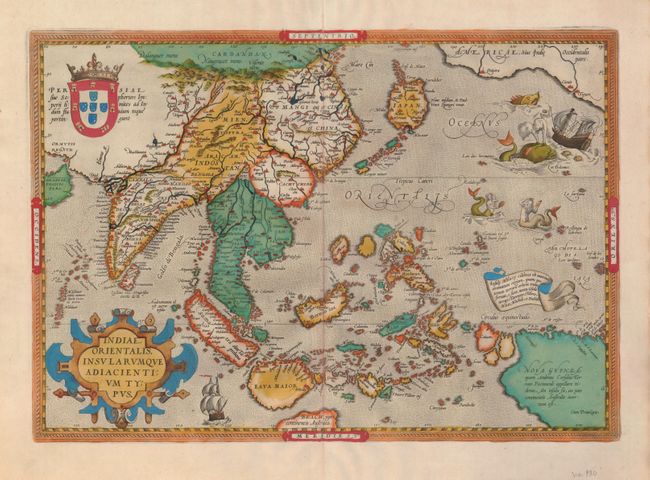
Subject: South East Asia

Period: 1601 (circa)

Publication: Theatrum Orbis Terrarum

Color: Hand Color

Size:
19.8 x 13.8 inches
50.3 x 35.1 cm
Download High Resolution Image
(or just click on image to launch the Zoom viewer)

Ortelius' important map of Southeast Asia shows how sketchy the available information was concerning the region. The East Indies are presented as a randomly scattered archipelago with Java and Borneo particularly misshapen. Taiwan is mapped for the first time as the I. Fermosa in the 'tail' of kite-shaped Japan's Lequaio islands. The large, fictitious Cayamai lacus in the heart of China is the source of a network of rivers in Southeast Asia. Beach pars, a presumed promontory of the great southern continent based on Marco Polo's account, protrudes into the bottom of the map. In the upper right corner, America makes an appearance with the three costal cities of Quivira, Cicuie, and Tiguex. Near the coast lies a ship being menaced by a pair of sea monsters, while twin mermaids preen before each other. Latin text on verso, p. 108.

References: Van den Broecke #166, Suarez, pp 164-69.

Condition: A

Fine impression and old color. Lightly toned on verso with a few tiny holes in the top margin, well away from the map.

Estimate: $4,000 - $4,750

Sold for: $3,000

Closed on 2/25/2009

Archived