Catalog Archive
Auction 127, Lot 721
"Plan de la Ville de Meaco", Dheulland, Guillaume
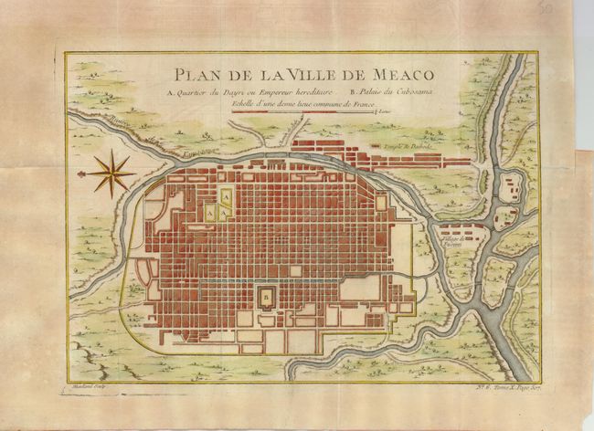
Subject: Japan, Kyoto
Period: 1750 (circa)
Publication:
Color: Hand Color
Size:
10.8 x 7.5 inches
27.4 x 19.1 cm
Download High Resolution Image
(or just click on image to launch the Zoom viewer)
(or just click on image to launch the Zoom viewer)