Catalog Archive
Auction 127, Lot 578
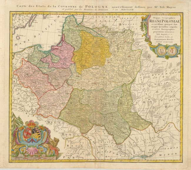
"Mappa Geographica Regni Poloniae ex novissimis quot quot sunt mappis specialibus composita et ad LL. Sterographica projectionis revocata…", Mayer/Homann Heirs
Subject: Poland
Period: 1757 (dated)
Publication:
Color: Hand Color
Size:
20 x 17.8 inches
50.8 x 45.2 cm
Download High Resolution Image
(or just click on image to launch the Zoom viewer)
(or just click on image to launch the Zoom viewer)