Catalog Archive
Auction 127, Lot 568

"Illustrissimo Celsissmo Principi Guilielmo Henrico D.G. Arausionum Principi Domino suo Clementissimo Hanc Comitatus Meursensis…", Wit, Frederick de
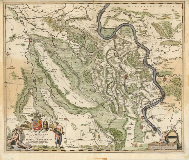
Subject: Germany

Period: 1724 (circa)

Publication:

Color: Hand Color

Size:
23 x 19 inches
58.4 x 48.3 cm
Download High Resolution Image
(or just click on image to launch the Zoom viewer)

This is a finely engraved map focused on the vicinity of Meurs. The map is incredibly detailed -- right down to the tiny churches and fields, and decorated with coats of arms and elaborate cartouches. One of the features is part of the planned route of the Fossa Eugeniana, a canal intended to connect the Meuse and Rhine Rivers. This canal was planned during a ceasefire period in the Eighty Years' War when the Spanish government abandoned their military efforts to assert their authority in the Netherlands in favor of a plan to disrupt the Dutch Rhine trade. The canal was called Fossa Eugeniana, after the Spanish governess at Brussels, Isabella Clara Eugenia, daughter of Philip II. The channel from Rheinsberg to Venlo included a defense wall with 24 fortified redoubts. The project began in 1626 and was abandoned in 1630 after repeated attacks from the Dutch and problems with financing. This map details the section of the canal from Rheinsberg to just past Gelder.

References:

Condition: C+

There are some light stains at sides, a short fold separation at top, a couple of tiny worm holes and a narrow top margin with some masking tape remnants in blank margins.

Estimate: $150 - $230

Sold for: $75

Closed on 2/25/2009

Archived