Catalog Archive
Auction 127, Lot 565
"Le Cercle de la Basse Saxe subdivise en tous Les Estats, et Principautes qui le composent", Sanson/Jaillot
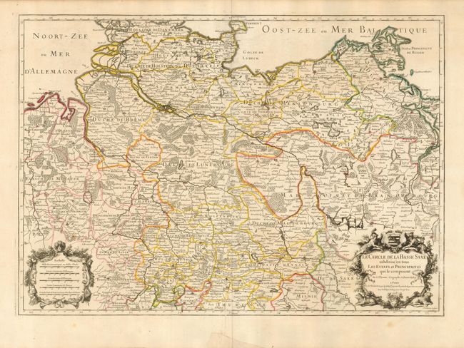
Subject: Germany
Period: 1708 (dated)
Publication:
Color: Hand Color
Size:
25.5 x 18 inches
64.8 x 45.7 cm
Download High Resolution Image
(or just click on image to launch the Zoom viewer)
(or just click on image to launch the Zoom viewer)