Catalog Archive
Auction 127, Lot 479

"Regni Angliae et Walliae Principatus Tabula…", Allard/Covens & Mortier

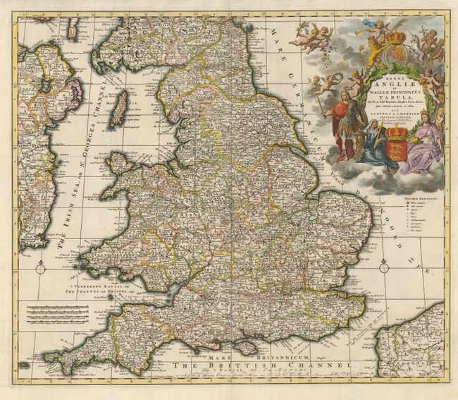
Subject: England & Wales

Period: 1735 (circa)

Publication:

Color: Hand Color

Size:
23.3 x 19.8 inches
59.2 x 50.3 cm
Download High Resolution Image
(or just click on image to launch the Zoom viewer)

Handsome map of England and Wales, with large, elaborate cartouche containing royal coat-of-arms, religious and regal figures, putti, etc. This handsome map of England and Wales provides excellent detail of the counties, roads, cities, towns, churches and universities. The dramatic title cartouche celebrates the Glorious Revolution of 1688-89, when the map was first issued by Allard. Seated below the title are a woman holding a cross and urn and Britannia and on the left stands an imposing military figure representing King William III. The cartouche is surrounded by putti and completed with royal crests and the English lion and Welsh unicorn. This is the second state published by Covens & Mortier.

References: Shirley (BI) Allard 3, state 2.

Condition: A+

Issued folding, now flattened.

Estimate: $600 - $800

Sold for: $450

Closed on 2/25/2009

Archived