Catalog Archive
Auction 127, Lot 458

"Carte Reduite des Isles Britanniques Seconde Feuille Partie Septentrionale de l'Angleterre", Bellin, Jacques Nicolas
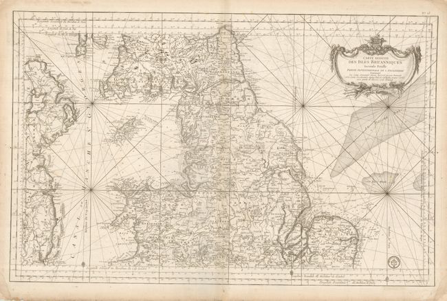
Subject: Britain

Period: 1750 (circa)

Publication: Hydrographie Francoise

Color: Black & White

Size:
34.5 x 22 inches
87.6 x 55.9 cm
Download High Resolution Image
(or just click on image to launch the Zoom viewer)

This superb, large-scale chart covers the northern part of England, southern Scotland, Wales, the Isle of Man, and the eastern coast of Ireland. The map is filled with incredible detail, both along the coastline and in the interior. The map has the stamp of the Depot de la Marine with a paper tab pasted over the price in the lower right corner. This was done prior to printing as the neatline is on top of the small tab. This map is the second sheet in Bellin's massive five-sheet map of Britain. It stands on its own with full border and a nice military-themed title cartouche.

References:

Condition: B+

There is a soft extraneous horizontal crease and some light surface soil, and the bottom paper edge is ragged, but well away from the map.

Estimate: $375 - $475

Unsold

Closed on 2/25/2009

Archived