Catalog Archive
Auction 127, Lot 453

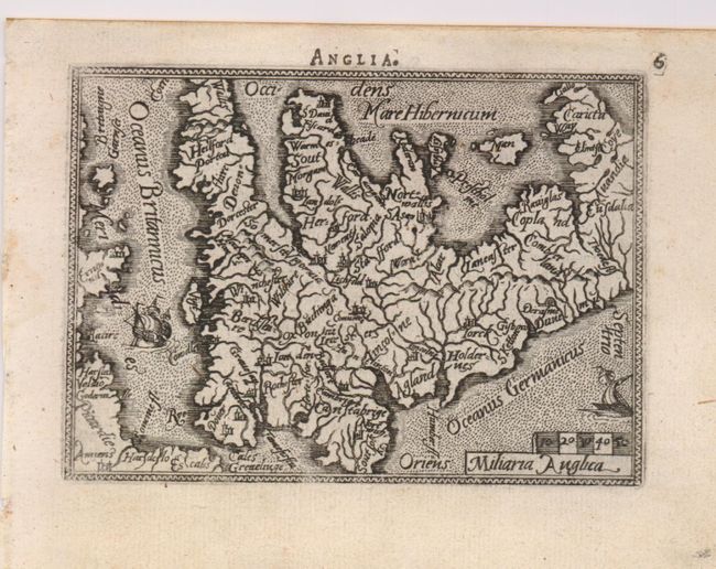
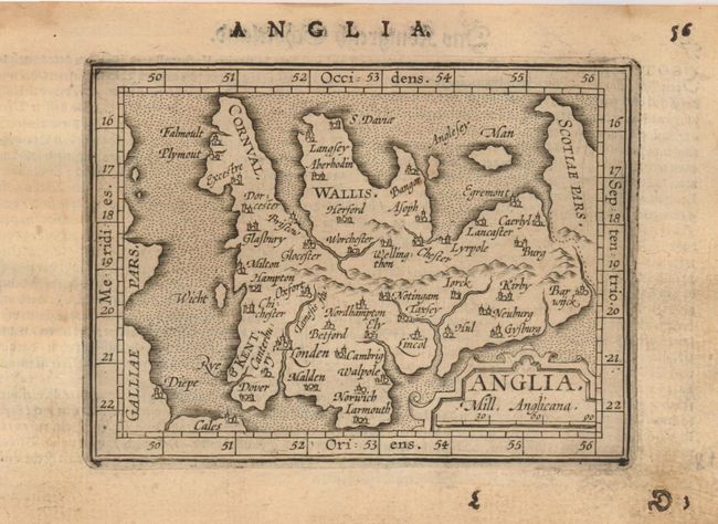
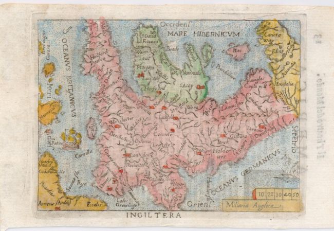
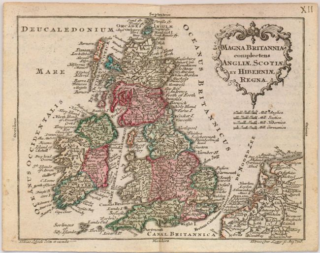
"[Lot of 4] Anglia [and] Anglia [and] Ingiltera [and] Magna Britannia Complectens Angliae, Scotiae et Hiberniae Regna",

Subject: Britain

Period: 1598-1760 (published)

Publication:

Color:

Size:
4.3 x 3 inches
10.9 x 7.6 cm
Download High Resolution Image
(or just click on image to launch the Zoom viewer)

Fine group of miniature maps of England and Wales and the British Isles.

The first map (4.3 x 3") is surrounded in a narrow decorative border and is embellished with two sailing ships. Numerous rivers dominate the map. This map is from an early Latin edition of Ortelius' Epitome, published by Philip Galle, Latin text on verso. Fully engraved seas in stipple. Dark, early impression and wide margins. Uncolored. (A)

The second map (4.5 x 3.4") portrays only a few major rivers and locates important cities. A broad border with latitude and longitude markings surrounds the map and the title is contained in a strapwork cartouche. North is oriented to the right and the seas are fully engraved in stipple. This map was engraved by the brothers Ambrose and Ferdinand Arsenius from Philip Galle's 1598 edition. It was published in the German edition by Jan Keerbergen, German text on the verso. Full margins, uncolored with some soiling in margins. (B+)

The third Ortelius map is from an Italian edition and delicately colored (4 x 3"). Two ships sail the fully engraved stipple seas. Distance scale lies in lower right. Light impression. (B+)

The final, later (c. 1760) map was engraved in remarkable detail by T.C. Lotter. It covers the British Isles, including Ireland and is slightly larger (4.8 x 3.8"). Rococo-style title cartouche and four distance scales. (B+)

References: King (1st ed.) p. 140-42 and (2nd ed.) p. 60 & 86.

Condition:

See individual descriptions.

Estimate: $350 - $450

Sold for: $475

Closed on 2/25/2009

Archived