Catalog Archive
Auction 127, Lot 444

"Carte de Isles de Saint Pierre et Miquelon…", Bellin, Jacques Nicolas

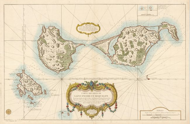
Subject: North Atlantic Ocean

Period: 1763 (dated)

Publication:

Color: Hand Color

Size:
34 x 22 inches
86.4 x 55.9 cm
Download High Resolution Image
(or just click on image to launch the Zoom viewer)

Attractive, large-scale chart of the French islands of St. Pierre and Miquelon with superb detail of the islands, soundings and anchorages. Located south of the Canadian province of Newfoundland, they are the last remnant of France’s once large dominion in North America. The chart is embellished with a huge garland-draped title cartouche, a smaller remarque cartouche, rhumb lines and a fleur-de-lis showing the deviation from magnetic north - orienting the chart with north to the right. Published by the Depot de la Marine with its seal at bottom left along with Prix Cinquante Sols.

References: Tooley (MCC- 96) #756.

Condition: A

Estimate: $550 - $650

Sold for: $600

Closed on 2/25/2009

Archived