Catalog Archive
Auction 127, Lot 443

"Isle St. Helene", Aa, Pieter van der

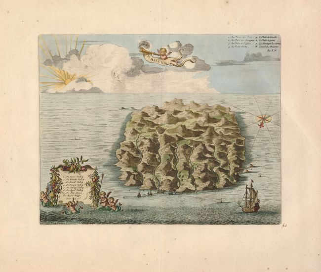
Subject: Atlantic Ocean, St. Helene

Period: 1729 (published)

Publication: La Galerie Ageable du Monde…

Color: Hand Color

Size:
12.3 x 9.5 inches
31.2 x 24.1 cm
Download High Resolution Image
(or just click on image to launch the Zoom viewer)

This is a well rendered bird's-eye view of the island with numerous sailing ships, two decorative cartouches, and a sunrise and towering clouds on the horizon. A compass rose and rhumb lines appear to be placed on the ocean surface in 3-D perspective and orient the map with north at the bottom. Locations on the northwest side of the island are named in Dutch in the key and in French in the upper right corner. This is a slightly revised edition of the map that first appeared in Ogilby's book on Africa in 1670.

References:

Condition: A

There are a few tiny spots in the wide original margins.

Estimate: $275 - $325

Unsold

Closed on 2/25/2009

Archived