Catalog Archive
Auction 127, Lot 391

"Pascaerte van de Noorcust van Spagnola Tusschen de Bay van Mansaniella tot de Reede van't Eylandt Tortugas", Roggeveen, Arent
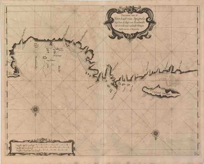
Subject: Hispaniola

Period: 1675 (circa)

Publication: Het Eerste Deel van het Brandende Veen…

Color: Black & White

Size:
20.5 x 16 inches
52.1 x 40.6 cm
Download High Resolution Image
(or just click on image to launch the Zoom viewer)

Rare map of Hispaniola's north coast, including the infamous pirate stronghold of Tortuga Island. The map is beautifully engraved with bold coastlines and faint rhumb lines. Two fine compass roses orient the chart with north on the bottom and strapwork cartouches complete the adornment. This map is from Arent Roggeveen's extremely rare sea atlas that described the American coastlines and the West Indies. The atlas was the first maritime atlas devoted to the Americas.

References:

Condition: B+

Ample original margins and a nice impression. Toned with some light foxing and offsetting.

Estimate: $3,000 - $5,000

Sold for: $2,200

Closed on 2/25/2009

Archived