Catalog Archive
Auction 127, Lot 347

"Territory of Wyoming", General Land Office
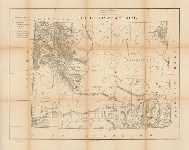
Subject: Wyoming

Period: 1876 (dated)

Publication:

Color: Black & White

Size:
29 x 22.3 inches
73.7 x 56.6 cm
Download High Resolution Image
(or just click on image to launch the Zoom viewer)

This is the first GLO map produced of Wyoming. It was compiled from the official records of the General Land Office and other sources by C. Roeser. It depicts watershed, railroads, early place names -- Reno, Kearny, Laramie and Fetterman forts, Camp Brown, Old Camp Brown, St. Mary's Station on the Oregon Trail, Miners Delight and much more. The legend further locates County Seats, Military Reservations and Indian Reservations. The Indian reservations of the Sioux and Shoshonees are prominent. The Union Pacific Railroad's 20 Mile limit cuts a wide path through the southern part of the territory. Yellowstone National Park is clearly shown. Most of the territory is largely unsurveyed in this first edition.

References: Blevins #283.

Condition: B+

A few fold separations closed on verso. Folding as issued with toning to some folds. Full margins and dark impression.

Estimate: $160 - $200

Sold for: $275

Closed on 2/25/2009

Archived