Catalog Archive
Auction 127, Lot 337

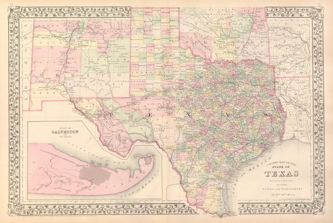
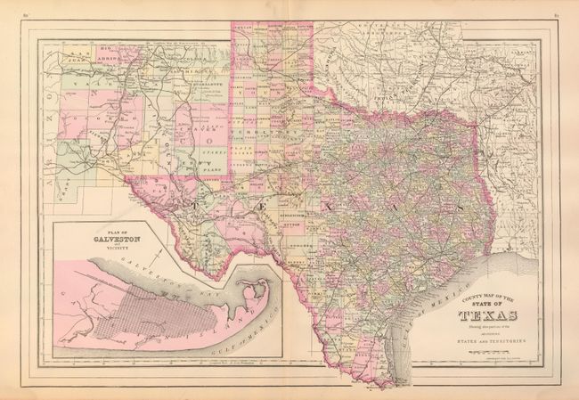
"[Lot of 2] County Map of the State of Texas Showing also Portions of the Adjoining States and Territories",

Subject: Texas

Period: 1881/1894 (dated)

Publication:

Color:

Size:
21 x 14 inches
53.3 x 35.6 cm
Download High Resolution Image
(or just click on image to launch the Zoom viewer)

At first glance these maps appear as identical, but are in fact quite different on closer examination. They do, however, share the identical title. Both have blank versos.

1) S. Augustus Mitchell, 1881. An attractive, double-page map of Texas extending to include parts of New Mexico, Oklahoma, Arkansas and Louisiana. The map presents an excellent view of the county development with only the large regions of West Texas yet to be organized. Galveston’s role as a main port of entry is obvious as it is depicted in a large inset. The Llano Estacado, or Staked Plain, is shown extending from the New Mexico Territory through the Texas Panhandle. Numerous railroads serve the southeastern part of the state. Indian Territory is divided into several large nations and reservations. The map is surrounded in Mitchell's distinctive grapevine border. Drawn and engraved in Philadelphia by W. H. Gamble. Fine. (A+)

2) A.L. Smith, 1894. This map shows the same geographical extent as the map above. There is more county development in the west with the addition of Loving, Winkler, Jeff Davis, Ward, Reeves, and Crane to mention several. The city grid of Galveston has more than doubled. Even more county development is evident in New Mexico Territory. This is a wax engraved map. An uncommon issue that Fitch calls a variant of the Mitchell/Bradley Texas but "Copyright 1894 A.L. Smith". A little centerfold toning. (B+)

References:

Condition:

See individual descriptions.

Estimate: $200 - $300

Sold for: $400

Closed on 2/25/2009

Archived