Catalog Archive
Auction 127, Lot 250
"Johnson's California, also Utah, Nevada, Colorado, New Mexico, and Arizona", Johnson, A. J.
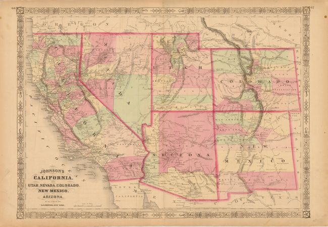
Subject: Southwestern United States
Period: 1864 (dated)
Publication: Johnson's New Illustrated Family Atlas
Color: Hand Color
Size:
23.3 x 16.5 inches
59.2 x 41.9 cm
Download High Resolution Image
(or just click on image to launch the Zoom viewer)
(or just click on image to launch the Zoom viewer)