Catalog Archive
Auction 127, Lot 215

"La Caroline dans l'Amerique Septentrionale Suivant les Cartes Angloises", Bellin, Jacques Nicolas

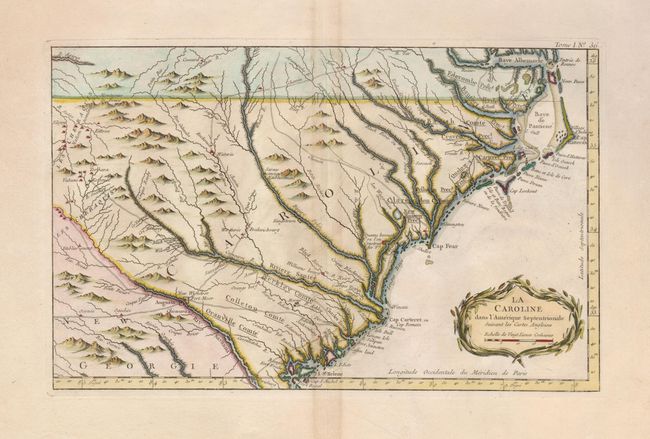
Subject: Colonial Southeast

Period: 1764 (published)

Publication: Petit Atlas Maritime

Color: Hand Color

Size:
14 x 9 inches
35.6 x 22.9 cm
Download High Resolution Image
(or just click on image to launch the Zoom viewer)

This wonderful map shows a rather compressed rendition of the coastline of both Carolinas, from Albemarle Sound (Baye Albermarle) and Pamlico Sound (Baye de Panticoe) at the north to St. Helene Sound to the south. It extends inland to the Cherokee Lands in the western Carolinas, Tennessee and Georgia. Several major interior roads cross paths at Augusta, GA and trading paths link the Indian villages with the colonial settlements. There are many recognizable settlements, rivers and other landmarks including the Granville Line in North Carolina. It is a fine map published during the time period immediately after the French and Indian War. Decorated with a wreath-style title cartouche.

References: Cumming (SE) #342.

Condition: A

Faint toning along centerfold, else fine with wide original margins. A short marginal tear has been repaired with archival tape, well away from the map.

Estimate: $500 - $600

Sold for: $375

Closed on 2/25/2009

Archived