Catalog Archive
Auction 127, Lot 189

"Carte de la Partie Nord, des Etats Unis, de l'Amerique Septentrionale", Bonne, Rigobert

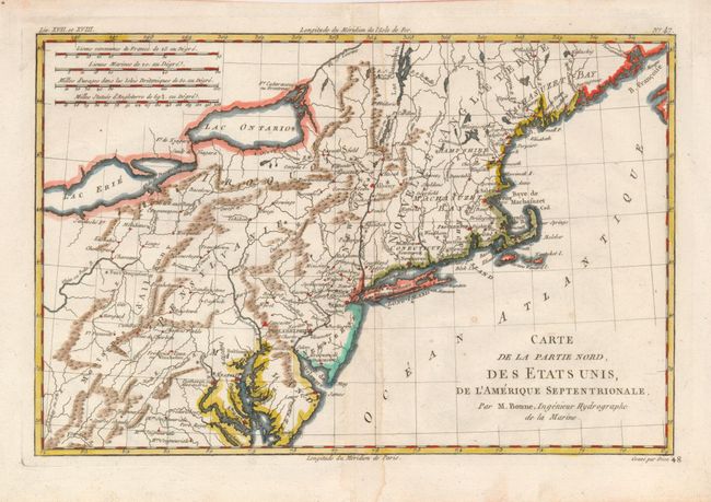
Subject: Colonial New England and Mid-Atlantic

Period: 1782 (circa)

Publication: Raynal's Atlas de toutes les parties connues du globe terrestre

Color: Hand Color

Size:
12.5 x 8.2 inches
31.8 x 20.8 cm
Download High Resolution Image
(or just click on image to launch the Zoom viewer)

This very early map presents the northern part of the newly-formed United States. It covers the region from northern Virginia to Maine (Machasuzet Bay), and westward to include Lake Erie. The map has good topographical detail, and it also includes numerous settlements, forts, and Indian villages. Locates Baltimore, Annapolis, Alexandria, New York, Boston, Ft. Halifax and much more. There are four distance scales at upper left. Engraved by Dien.

References: McCorkle #782.1A; Sellers & Van Ee #744.

Condition: B+

There is a faint damp stain along the centerfold, else very good. Hinge remnants on verso.

Estimate: $180 - $230

Sold for: $90

Closed on 2/25/2009

Archived