Catalog Archive
Auction 127, Lot 181

"United States", Lizars, Daniel
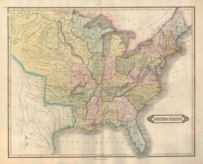
Subject: Eastern United States

Period: 1831 (circa)

Publication: The Edinburgh Geographical and Historical Atlas…

Color: Hand Color

Size:
19.8 x 16 inches
50.3 x 40.6 cm
Download High Resolution Image
(or just click on image to launch the Zoom viewer)

This handsome map shows the expansion of the United States into the western frontier where a great swath across the plains is labeled the Great Desert. Arkansas Territory extends into present-day Oklahoma, and the Northwestern Territory contains the future Upper Peninsula of Michigan, Wisconsin and Minnesota. Missouri Territory stretches as far west as present-day Montana. Texas is still part of Mexico. The map provides good information on the early roads and locates Indian villages, mines, and forts.

References:

Condition: A

Fine impression and nice original color with faint toning along the fold, else near fine.

Estimate: $180 - $220

Sold for: $130

Closed on 2/25/2009

Archived