Catalog Archive
Auction 127, Lot 166

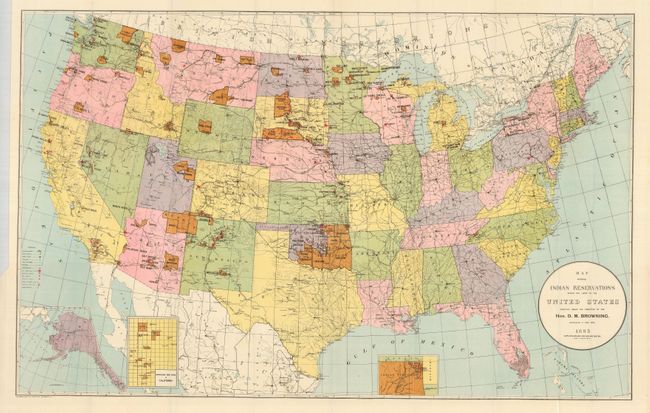
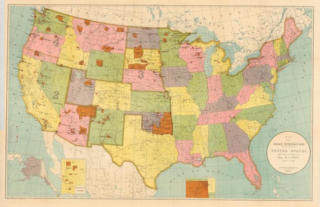
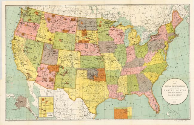
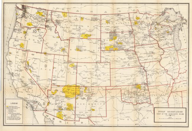
"[Lot of 5 - Indian Reservations]",
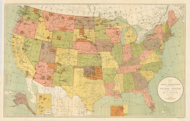
Subject: United States

Period: 1892-1919 (dated)

Publication:

Color: Printed Color

Size:
See Description
Download High Resolution Image
(or just click on image to launch the Zoom viewer)

This lot is composed of a nice set of folding maps that show the evolution of Indian Reservations in the United States over a period of 37 years. The first four share the same size (33"x 21") and title, but cover different years. They provide an interesting historical guide to the changing number and size of the reservations.

1) Map Showing Indian Reservations within the Limits of the United States Compiled under the Direction of the Hon. T.J. Morgan. Commissioner of Indian Affairs 1892. (33 x 21") Colorful map shows reservations across the United States and locates towns, railroads, military stations, schools, asylums and Indian agencies. This map also has insets of Oklahoma, Mission Ind. Res. of California, and Alaska. Folding, as issued. Near fine with just a hint of offsetting in cartouche. (A)

2) …D.M. Browning…1893. Beautiful example (A+).

3) …W.A. Jones… 1904. (A+)

4) … F.E. Leupp…1906. (A+)

5) Indian Reservations West of the Mississippi River 1919. (38.5 x 26") This is a large and very detailed map showing current and former reservations, schools, hospitals and railroads. The legend differentiates between Day, Boarding, and several types of Mission Boarding schools. A hint of fold toning, otherwise fine. (B+)

References:

Condition:

See individual descriptions.

Estimate: $200 - $300

Sold for: $160

Closed on 2/25/2009

Archived