Catalog Archive
Auction 126, Lot 855

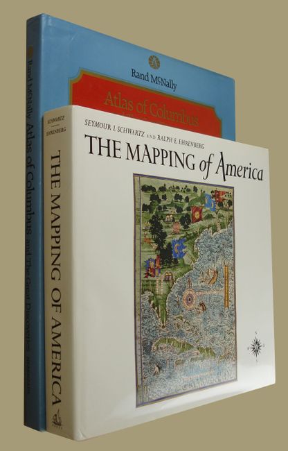
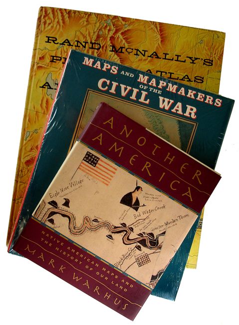
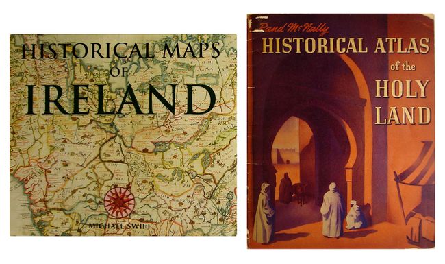
"[Lot of 7 Cartographic Reference Books]",

Subject: Reference Books

Period: 1938-2001 (published)

Publication:

Color: Printed Color

Size:
See Description
Download High Resolution Image
(or just click on image to launch the Zoom viewer)

1) The Mapping of America, Seymour I. Schwartz and Ralph E. Ehrenberg, Wellfleet Press, 2001. This essential reference presents a detailed, analytic history of the mapping of North America, emphasizing the area that comprises the United States. Two major periods are covered; the first extends from 1500 to 1800, and the second from 1800 to the present. 363 pp., index, 223 maps, 84 reproduced in full-color, 354 illustrations altogether. Reprint of the 1980 edition. 11 x 11.5". Hardbound in green cloth with illustrated dust jacket. An often quoted reference work. (A+). As new.

2) Atlas of Columbus and The Great Discoveries, by Kenneth Nebenzahl, illustrates a selection of the most significant materials of the period, beginning with the world as known to Europeans before Columbus' first voyage. More than 100 color illustrations depict maps by Ptolemy, Pizzagano, Martellus, Waldseemuller, Mercator, Hondius and others. 168 pp., with index & bibliography. (11.3 x 14.8") Rand McNally, 1980. Hardbound in blue cloth with title in gilt and illustrated dust jacket. (A) Dust jacket with a bit of edge wear, else fine.

3) Maps and Mapmakers of the Civil War, Earl B. McElfresh with foreword by Stephen W. Sears, 1999. A thorough examination of Civil War maps, mapmaking and mapmakers, documents the techniques and travails of the mapmaker in the field. Lively anecdotes are retold alongside discussion of the practical effect of the cartographer's art on actual military operations. (12 x 10"). 272 pp., notes, bibliography, index, 180 illustrations, 150 in full-color, many never before reproduced. Hardbound with dust jacket and wrapped in plastic. (A+).

4) Pioneer Atlas of the American West , historical text by Dale J. Morgan, 1969 edition. Facsimile reproductions of maps and indexes from the 1876 first edition of Rand, McNally and Co.'s Business Atlas of the Great Mississippi Valley and Pacific Slope together with Contemporary Railroad Maps and Travel Literature. Hardbound, 80 pp, illustrated cover. (A) A small amount of soiling on covers. (14 x 11").

5) Another America: Native American Maps and the History of Our Land, by Mark Waarhus, is the first book to present rare and seldom seen maps made by Native Americans. St. Martin's Press, 1997 (7.7 x 9.4"") first edition, 242 pp. xiv, 80 ills. Hardbound with dust jacket. (A+) As new.

6) 1) Historical Maps of Ireland, by Michael Swift, London, 1999. This book uses cartography to present Ireland's long and sometimes turbulent history, spanning three centuries. (11.3 x 10") 4to. Hardbound in printed paper covers with identical dust jacket. Near new condition with no visible wear. (A+)

7) Historical Atlas of the Holy Land, Rand McNally, Chicago, 1938. Profusely illustrated with more than forty maps in rich, printed color. Staplebound, 32 pages. Grade B+. (11.5 x 9"). Moderate edge wear to the covers, some minor loss at the corners. Contents a bit toned, but still good. Previous owner's private library label inside front cover. (B+)

References:

Condition:

See individual descriptions.

Estimate: $200 - $300

Sold for: $120

Closed on 12/3/2008

Archived