Catalog Archive
Auction 126, Lot 791

"Carte des Isles des Amis", Bonne, Rigobert

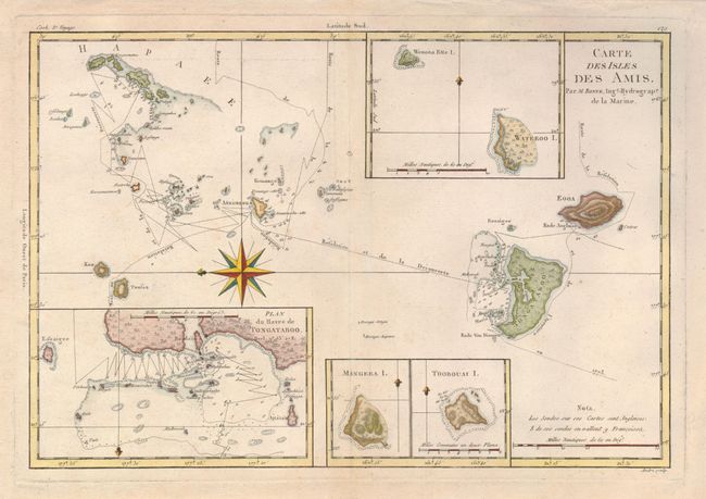
Subject: Pacific Islands, Tonga

Period: 1787 (circa)

Publication: Atlas Encyclopedique

Color: Hand Color

Size:
13.5 x 9.3 inches
34.3 x 23.6 cm
Download High Resolution Image
(or just click on image to launch the Zoom viewer)

This elegantly engraved small chart depicts the Kingdom of Tonga, also known as the Friendly Islands, and one of the last hereditary monarchies. Cook named this group the Friendly Islands due to the generous reception he and his crew received on their journey. The route of Cook's ship, the Resolution, in 1774 is noted, with soundings, hazards, and anchorages. Four insets include the harbor of Tongataboo. A splendid compass rose orients the chart with north to the left.

References:

Condition: A

Estimate: $100 - $140

Sold for: $75

Closed on 12/3/2008

Archived