Catalog Archive
Auction 126, Lot 789
"A Chart of the Islands Discover'd in the Neighbourhood of Otaheite, in the Course of Several Voyages round the World, Made by Capns. Byron, Wallis, Carteret, & Cooke, in the Years, 1765, 1767, 1769", Whitchurch, William
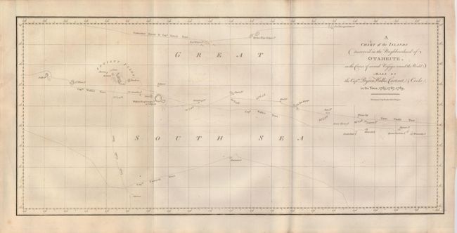
Subject: Pacific Islands
Period: 1773 (published)
Publication: An account of the voyages…
Color: Black & White
Size:
20.5 x 9.5 inches
52.1 x 24.1 cm
Download High Resolution Image
(or just click on image to launch the Zoom viewer)
(or just click on image to launch the Zoom viewer)