Catalog Archive
Auction 126, Lot 742

"East Indies", Jefferys, Thomas

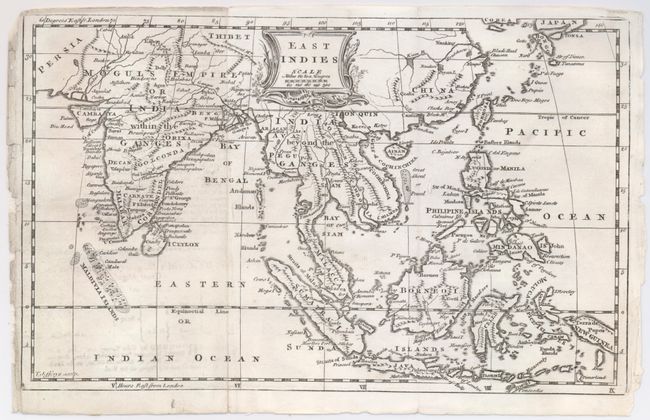
Subject: East Indies - Indonesia

Period: 1760 (circa)

Publication:

Color: Black & White

Size:
11.6 x 7.3 inches
29.5 x 18.5 cm
Download High Resolution Image
(or just click on image to launch the Zoom viewer)

This is a nice chart of the East Indies showing the islands of Java, Sumatra, Celebes, Borneo as well as the lesser islands of the archipelago. The map extends further than most purporting to show the East Indies, as it includes the Maldives, Ceylon and India up to Tibet, Siam, Cambodia, much of China, Formosa, and the Philippines in their entirety. Most of New Guinea is shown in the east while the islands of Timor and Flores are at the bottom of the map, excluding any part of Australia. At the extreme top edge are Japan and Corea. The title is contained in a nice cartouche with includes a distance scale.

References:

Condition: B+

Dark impression on hand laid paper. A little offsetting and some marginal roughness. A few pin holes.

Estimate: $140 - $180

Sold for: $70

Closed on 12/3/2008

Archived