Catalog Archive
Auction 126, Lot 530

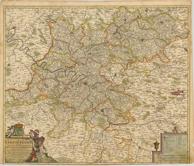
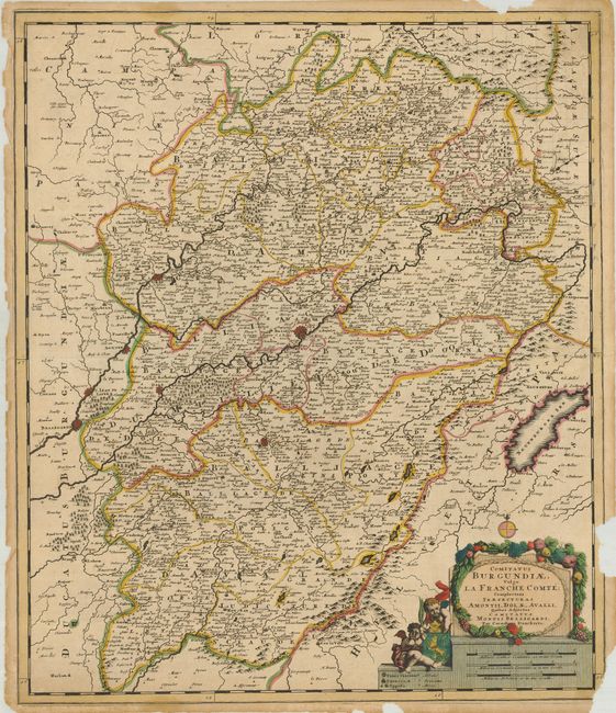
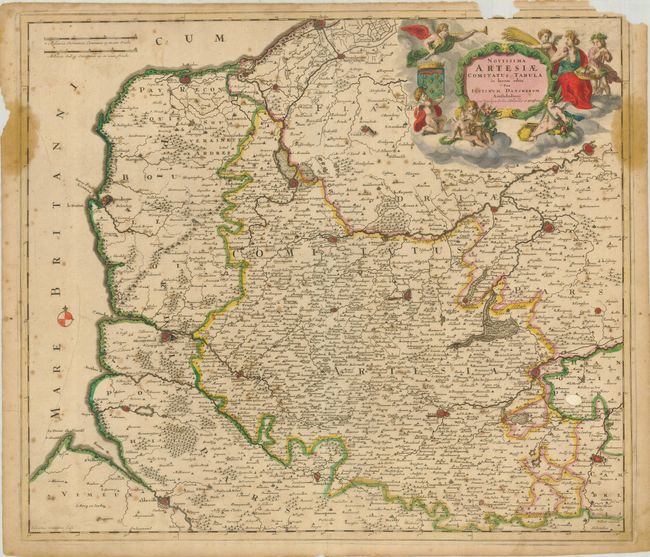
"[Lot of 3] Gouvernement General de l'Isle de France… [with] Comitatus Burgundiae, Vulgo la Franche Comte… [and] Novissima Artesiae Comitatus Tabula in Lucem Edita",

Subject: France

Period: 1700 (circa)

Publication:

Color: Hand Color

Size:
See Description
Download High Resolution Image
(or just click on image to launch the Zoom viewer)

1) Gouvernement General de l'Isle de France… is a decorative map of the area surrounding Paris by Frederick de Wit. It has crisply engraved detail and two decorative cartouches; the one on the left is topped with the royal coat of arms and flanked by the goddess Diana and a river god. It has original color, and the lower margin is trimmed into the border, with some paper repairs on the verso. (23.3 x 19.6") (C+)
2) Comitatus Burgundiae, Vulgo la Franche Comte shows the Franche Comte region, centered on Besançon and extending just past the Swiss border. The decorative cartouche incorporates the scale of miles and is surrounded by garlands and putti. The map was created by Cornelis Danckerts. It has original color and some paper loss in the margins, including a couple of areas of the border at upper right and lower right side. (19.5 x 23") (D)
3) Novissima Artesiae Comitatus Tabula in Lucem Edita by Justus Danckerts is a very decorative map depicting the northern province of Artois on the border with Belgium. The map is fully engraved with forests, rivers, bridges and fortified cities. The cartouche is surrounded by putti, the trumpeting Angel of Fame, garlands and fruit. Original color on a sheet with a dark impression. The map has light scattered foxing and a small circle of loss north of Arles that has been backed with paper. The top margin has some loss of the border caused by two areas of insect grazing. (22.5 x 19.5") (D).

References:

Condition:

See description.

Estimate: $150 - $250

Sold for: $75

Closed on 12/3/2008

Archived