Catalog Archive
Auction 126, Lot 208

"Section of Map of the States of Kansas and Texas and Indian Territory, with Parts of the Territories of Colorado and New Mexico", U.S. Army

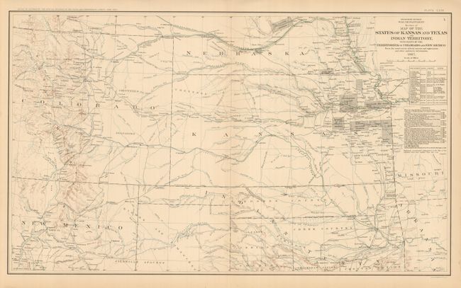
Subject: Central United States

Period: 1892 (circa)

Publication: Atlas to Accompany the Official Records of the Union and Confederate Armies

Color: Printed Color

Size:
27.5 x 16.5 inches
69.9 x 41.9 cm
Download High Resolution Image
(or just click on image to launch the Zoom viewer)

This is Plate CXIX. It covers all of Kansas, most of Colorado and parts of Nebraska, New Mexico, Texas and Indian Territory. It is filled with information on forts, Agencies, wagon roads, exploration routes, railroads, and much more. The topography is shown via hachure and the waterways are in blue. There is excellent detail of Denver with the mountains and mining communities to the west. Extensive list of Authorities and Astronomical Notes. Dated 1867 but published 1892.

References:

Condition: A

Map image is fine, with just a little edge toning or staining restricted to edges. One short tear in lower margin, closed on verso. Beautifully colored and printed.

Estimate: $100 - $140

Unsold

Closed on 12/3/2008

Archived