Catalog Archive
Auction 126, Lot 203

"Political Map of the Northern Division of the United States", Woodbridge, William Channing

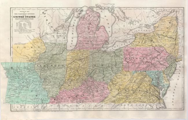
Subject: United States - Central & Eastern

Period: 1843 (dated)

Publication: Woodbridge's Geography

Color: Hand Color

Size:
17.3 x 10.3 inches
43.9 x 26.2 cm
Download High Resolution Image
(or just click on image to launch the Zoom viewer)

This finely engraved map shows the states of Missouri, Illinois, Indiana, Kentucky, Ohio, Michigan, Virginia, Maryland, Delaware, New Jersey, New York, and the territory of Iowa. The detail is excellent with all counties named and hundreds of towns and villages. There is a surprisingly large railway network at this early stage of development with one line reaching to Cleveland. Wagon roads are also noted. The legend indicates six different sizes of cities, railways, universities and colleges, and canals. Dated at lower left, "Entered according to Act of Congress in the year 1843 by William C. Woodbridge in the Clerk's Office of the District Court of Massachusetts."

References:

Condition: A+

Good impression and color on a clean sheet with original margins.

Estimate: $120 - $150

Unsold

Closed on 12/3/2008

Archived