Catalog Archive
Auction 126, Lot 15

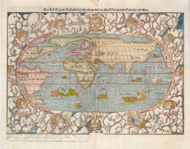
"Das erst general inhaltend die beschreibung und den circkel des gantzen erdtreichs und moeres", Munster, Sebastian
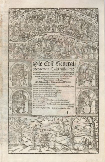
Subject: World

Period: 1578 (published)

Publication: Cosmographey

Color: Hand Color

Size:
15 x 10.4 inches
38.1 x 26.4 cm
Download High Resolution Image
(or just click on image to launch the Zoom viewer)

This famous woodblock map is presented on a oval projection surrounded by clouds and wind heads with the title above the map. The continents are shown in rough outline only. North America is shown with the large cleft nearly separating the east coast from the continent, often referred to as the Sea of Verazano. What appears to be a large Northwest Passage stretches towards Asia. South America has a very strange shape as well. In Africa, the Nile is prominently shown with its twin sources beginning in a range of southern mountains. The mythical islands of Grisonum and Calensuan are placed in the proximity of Australia, where there is also the label Mare Pacificum. A sailing ship and several fierce sea monsters occupy the oceans. Initials of the engraver David Kandel in lower left-hand corner. This is the second 'modern' world map to appear in Munster's Cosmographia, published between 1550 and 1578. This example is from the German edition of 1578 with German text and elaborate woodcut illustrations on verso.

References: Shirley #92.

Condition: A

There are a couple minor spots in the blank margins.

Estimate: $2,300 - $2,750

Sold for: $1,700

Closed on 12/3/2008

Archived