Catalog Archive
Auction 126, Lot 155

"United States", Lizars, Daniel

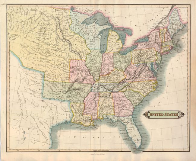
Subject: Eastern United States

Period: 1827 (circa)

Publication: The Edinburgh Geographical and Historical Atlas…

Color: Hand Color

Size:
19.8 x 16 inches
50.3 x 40.6 cm
Download High Resolution Image
(or just click on image to launch the Zoom viewer)

Uncommon map of the central and eastern United States showing the westward expansion of the frontier. Arkansas Territory extends into present-day Oklahoma, and the Northwestern Territory contains Wisconsin and Minnesota and the future Upper Peninsula of Michigan. Missouri Territory stretches as far as present-day Montana. Texas is still part of Mexico. A great swath of the plains is labeled Great Desert, with little else noted in the region.

References:

Condition: B+

Fine impression and nice original color. There is a light stain in the right side margin that barely affects the map border. There is an old repair on the bottom centerfold, not affecting the map.

Estimate: $180 - $230

Sold for: $120

Closed on 12/3/2008

Archived