Catalog Archive
Auction 125, Lot 944

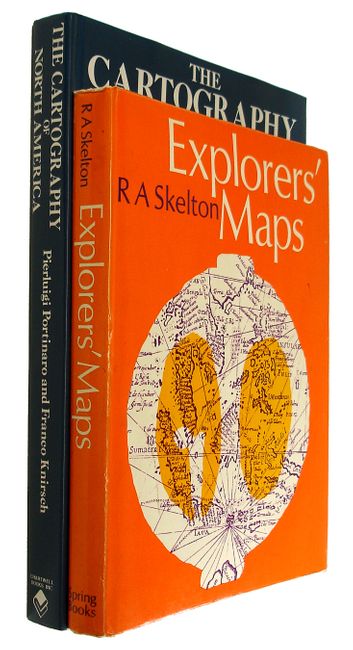
"[Lot of 2] The Cartography of North America 1500-1800 [and] Explorers' Maps",

Subject: Reference Books

Period: 1970-87 (published)

Publication:

Color:

Size:
See Description
Download High Resolution Image
(or just click on image to launch the Zoom viewer)

1) The Cartography of North America, by Pierluigi Portinaro and Franco Knirsch, Greenwich, Ct, 1987, is a nicely illustrated cartographic reference with biographical sketches of major cartographers. It presents reproductions of authentic maps from the first three centuries of the mapping of North America reflecting an unfolding story of daring exploration, tenacious settlement, and fierce colonial rivalry. 320 pp. containing 180 extensively captioned maps, nearly all in full-color and more than 90 supplementary illustrations. Published by Chartwell Books, Edison NJ, 1987. Hardbound in blue cloth with dust jacket. 13 x 10". Grade A+. Minor shelf wear along bottom edge and a pen mark on DJ. Else, as new.

2) Explorers' Maps by R.A. Skelton, Spring Books, London, 1970. This book has a two-fold fascination: it traces the development of cartography from the maps and charts of medieval travelers, who filled the unknown areas of their maps with drawings of sea monsters and sailing ships, to the scientifically accurate and highly sophisticated charts of l8th and l9th century surveyors; and it is the story of how Europe discovered and explored the rest of the world. 337 pp., with 219 illustrations. Hard bound in white cloth with protected dust jacket. 11 x 9". Grade A. Some wear to DJ and bottom edge of covers. Toning along top edges.

References:

Condition:

See individual descriptions.

Estimate: $100 - $150

Sold for: $75

Closed on 9/24/2008

Archived