Catalog Archive
Auction 125, Lot 756

"Province de Chan-Si", Du Halde/D'Anville
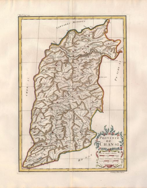
Subject: China

Period: 1735 (circa)

Publication: Description Geographique de la Chine…

Color: Hand Color

Size:
8.8 x 14 inches
22.4 x 35.6 cm
Download High Resolution Image
(or just click on image to launch the Zoom viewer)

This is an important map of Shansi (Shanxi) province, southwest of Beijing. Shanxi's name literally means "mountains' west," which are vividly depicted on the map. The Great Wall forms much of the northern boundary and partially encloses part of the Sixteen Prefectures, a strategic region vital to guarding the Chinese heartland from the steppe tribes to the north. The maps from Du Halde's atlas were assembled by D'Anville and compiled from an extensive Jesuit survey carried out in 1708-16 for the Emperor Kang-Shi. It remained the principal cartographical authority on China during the rest of the 18th century. The missionaries used local sources and personal observation to prepare these incredibly detailed maps. Attractive figurative title and scale of miles cartouches compliment the detailed map.

References:

Condition: A

Printed on fine laid paper with very wide original margins.

Estimate: $230 - $300

Sold for: $230

Closed on 9/24/2008

Archived