Catalog Archive
Auction 125, Lot 747

"A New Map of Persia, from the Latest Authorities", Cary, John

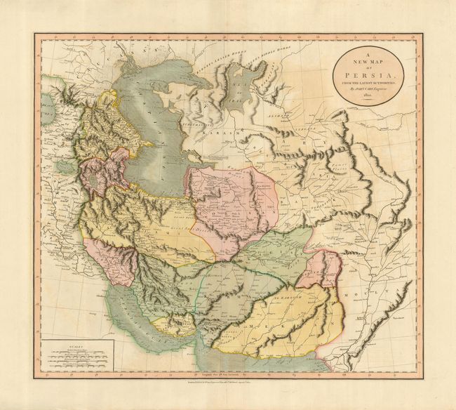
Subject: Persia - Iran

Period: 1801 (dated)

Publication: New Universal Atlas

Color: Hand Color

Size:
20.3 x 18 inches
51.6 x 45.7 cm
Download High Resolution Image
(or just click on image to launch the Zoom viewer)

This is a fine map of early nineteenth century Persia. The finely engraved map is divided into provinces and depicts the rivers, mountain ranges, roads and towns. John Cary was one of the most respected and prolific of English cartographers at the beginning of the nineteenth century. When the Ordnance Survey began accurately mapping the UK, they used John Cary's style as the basis for their work.

References:

Condition: B+

Lovely original color with some faint offsetting.

Estimate: $200 - $250

Sold for: $110

Closed on 9/24/2008

Archived