Catalog Archive
Auction 125, Lot 730

"Palestine", Colton, George Woolworth
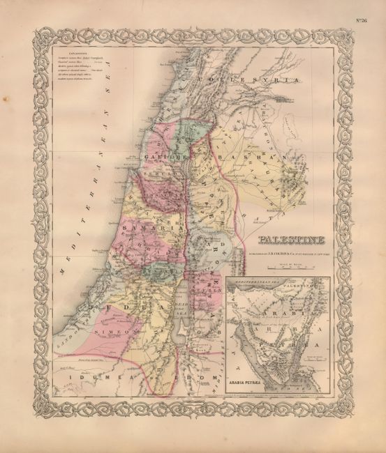
Subject: Holy Land

Period: 1856 (published)

Publication: Illustrated Atlas of the World

Color: Hand Color

Size:
12.6 x 15.4 inches
32 x 39.1 cm
Download High Resolution Image
(or just click on image to launch the Zoom viewer)

A beautifully engraved map of the Holy Land that extends north to include Henicia and the Bay of Juneh, and east to Bosrah and Kenath. It contains terrific detail of the political divisions (all named and hand colored), towns and villages, roads, and port cities; locates and names the Dead Sea, Bethlehem, Jaffa, Gaza, Jerusalem, and much more. The large inset at lower right "Arabia Petraea" details the region between the Gulf of Suez, the Gulf of Akabah and the Mediterranean Sea, which is labeled "El Tih, or Tiah Bani Israel The Desert of the Children." With fine original hand coloring and Colton's distinctive scroll-style border. Dated 1855, this map was published in the first edition of Colton's monumental world atlas.

References:

Condition: A

A beautiful, near flawless example with bright original coloring and full margins. A little marginal edge toning and a few tiny spots, else fine.

Estimate: $100 - $140

Sold for: $70

Closed on 9/24/2008

Archived