Catalog Archive
Auction 125, Lot 560
"Nova Picardiae Tabula", Blaeu/Mortier
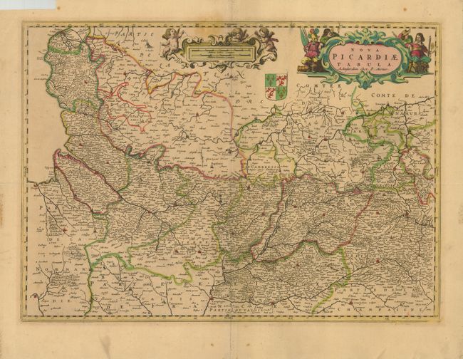
Subject: France
Period: 1693 (circa)
Publication:
Color: Hand Color
Size:
21.3 x 15.3 inches
54.1 x 38.9 cm
Download High Resolution Image
(or just click on image to launch the Zoom viewer)
(or just click on image to launch the Zoom viewer)