Catalog Archive
Auction 125, Lot 47

"Tabula Geographica Occidentalem Orbis Partem, seu Pleraque Europae et quaedam Africae / Tabula Geographica Orientalem sere Orbis Partem, seu Pleraque Asiae, et quaedam Europae ac Africae…", Aa, Pieter van der

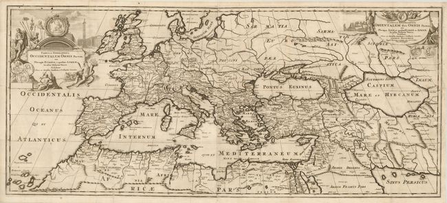
Subject: Ancient World

Period: 1710 (dated)

Publication:

Color: Black & White

Size:
34.3 x 15 inches
87.1 x 38.1 cm
Download High Resolution Image
(or just click on image to launch the Zoom viewer)

This large copper engraved map shows the ancient world from the Canary Islands through the Mediterranean to the Persian Sea and the Caspian Sea. Joined on two sheets and features two decorative title cartouches, both embellished with Roman weaponry and portraits. The cartouches also show a Venetian war fleet and coins or medals with allegorical references to Europe, Africa, Asia, as well as the rivers Euphrates and Nile. The map delineates regional boundaries, rivers and many towns. A large and handsome map for which we find no references or prior pricing information.

References:

Condition: B+

Beautiful, dark impression. Professionally backed with tissue to repair tear at right side and another at lower left.

Estimate: $600 - $800

Sold for: $750

Closed on 9/24/2008

Archived