Catalog Archive
Auction 125, Lot 467

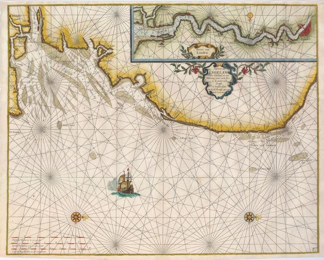
"Pascaerte van Engelant vant Voorland tot aen Blakeney, waer in te sien is de mont vande Teemse", Jacobsz, Jacob

Subject: England

Period: 1666 (circa)

Publication:

Color: Hand Color

Size:
21 x 16.8 inches
53.3 x 42.7 cm
Download High Resolution Image
(or just click on image to launch the Zoom viewer)

Uncommon sea chart of the southeastern coast of England showing the coast from the mouth of the Thames to just north of Yarmouth. It is inset with a map continuing the course of the Thames to London. Both maps have decorative title cartouches, rhumb lines and compass roses. A ship is shown in the foreground. The map publishing family with the name of Theunisz took the name Lootsman, or Pilot, to distinguish themselves from other mapmakers with a similar name. Theunisz or Anthonie Jacobsz, was the founder of a flourishing printing and publishing house in Amsterdam. The sons, Jacob and Casper, ran the company until the early 18th century. This map is very similar to maps by Goos and Jansson that were published later.

References:

Condition: B+

An attractive example with a dark impression and fine later color. There is paper added to extend the top margin to better facilitate framing. There is an area of expert paper restoration about the size of a dime in the mid-right of the map with a few lines of neat facsimile on the rhumb lines.

Estimate: $800 - $1,000

Unsold

Closed on 9/24/2008

Archived