Catalog Archive
Auction 125, Lot 421

"Carte pour Servir a l'Histoire Philosophique et Politique des Etablissemens et du Commerce des Europeens dans les Deux Indes", Bonne/Raynal

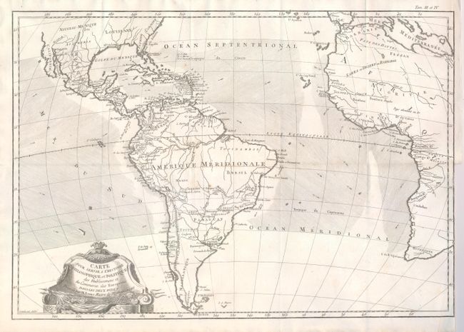
Subject: Atlantic Ocean

Period: 1775 (circa)

Publication: Atlas de Toute les Parties Connues du Globe Terrestre

Color: Black & White

Size:
18.2 x 12.6 inches
46.2 x 32 cm
Download High Resolution Image
(or just click on image to launch the Zoom viewer)

This chart is roughly centered on the Atlantic Ocean and includes most of Africa, the southern part of North America, the West Indies and all of South America. The focus of the chart is European trade and commerce with the Americas. Arrows depict the directions of the currents or prevailing winds in the oceans. There is a fair amount of detail in Central and South America. The Baja is here called Californie. Embellished with a rococo-style title cartouche.

References:

Condition: A

Folding, as issued. One tiny spot and binding trim as issued.

Estimate: $100 - $150

Sold for: $70

Closed on 9/24/2008

Archived