Catalog Archive
Auction 125, Lot 381

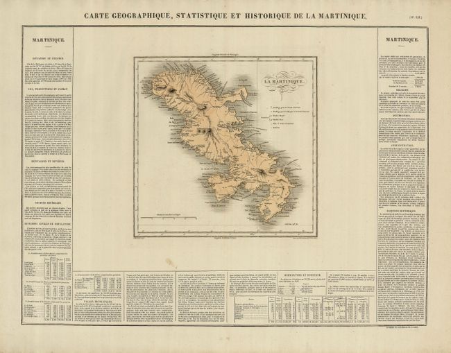
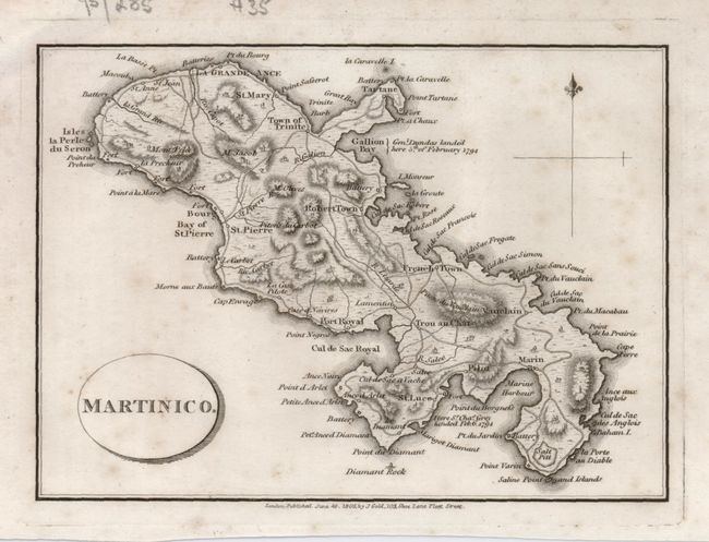
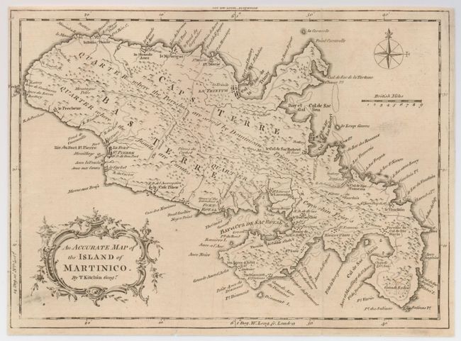
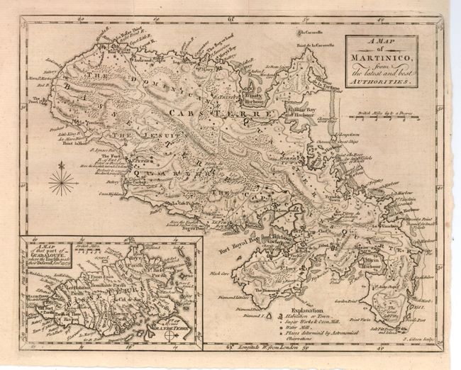
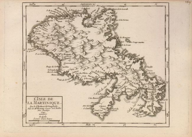
"[Lot of 5] La Martinique… [with] Martinico [and] An Accurate Map ... Martinico. [and] A Map of Martinico, ...[and] L'Isle de la Martinique",

Subject: Martinique

Period: 1749-1802 (dated)

Publication:

Color:

Size:
See Description
Download High Resolution Image
(or just click on image to launch the Zoom viewer)

1) La Martinique. Carte Geographique, Statistique et Historique de la Martinique (24.3 x 17.8"). Nicely engraved map of the island showing good coastal detail and locating numerous place names, forts, churches and roads. A key at right identifies anchorages, batteries, etc. French explanatory text surrounds the map (11 x 10.8"). Buchon, Jean Alexandre. Paris, 1825. Hand color. A smudge and a couple small spots in blank areas, and a small weak spot in the paper in the lower margin, else fine. Grade A.

2) Martinico (6.0 x 4.4"). Small, finely engraved map of the island showing roads, forts, cities and topography. A simple fleur-de-lys and oval title cartouche decorate the map. Gold, Joyce. London, 1805, BW. Foxed. Lower margin close, but enough for framing. Grade B.

3) An Accurate Map of the Island of Martinico. (9.5 x 7"). Nicely detailed map showing the island divided into three sectors of religious influence; the Capuchin Friers, the Jesuits, and the Dominican Friers. This uncommon map shows several well defined roads, including one labeled as the "most frequented." Additional details include forts, towns, hospitals and topography. A decorative title cartouche and simple compass rose are also featured. Kitchin, Thomas. London, 1758, BW. Folding, with close margins, as issued. The map has a small spot in a blank area, a couple extraneous folds, and some printer's ink smudges, not affecting the map. Grade B+.

4) A Map of Martinico, from the latest and best Authorities. (9.5 x 7.5"). This attractive map of the island is filled with interesting detail of the terrain, anchorages, forts, sugar mills, salt pits and roads. It is inset with A Map of that part of Guadeloupe where the English made their Descent, Jan. 23, 1759, which refers to the English fleet occupying Martinique. Ref: Jolly GENT-126. Gibson, John. From Gentleman's MagazineLondon, 1759. Folding, as issued, BW. The map has some very faint offsetting and pleasant, even toning. Two short fold splits have been repaired with archival tape on verso. Grade B+.

5) L'Isle de la Martinique (7.5 x 6.4"). Very handsome copper engraved map of the island with topography shown by hachure. The map shows towns, villages, churches, forts and watershed. Simple block-style title cartouche. Ref: Pedley #477. Robert de Vaugondy. From Atlas Universel Portatif et Militaire, Paris, 1749, BW. Top margin close, as issued. Minor toning along edges, else fine. Grade A.

References:

Condition:

See descriptions.

Estimate: $400 - $600

Unsold

Closed on 9/24/2008

Archived