Catalog Archive
Auction 125, Lot 303

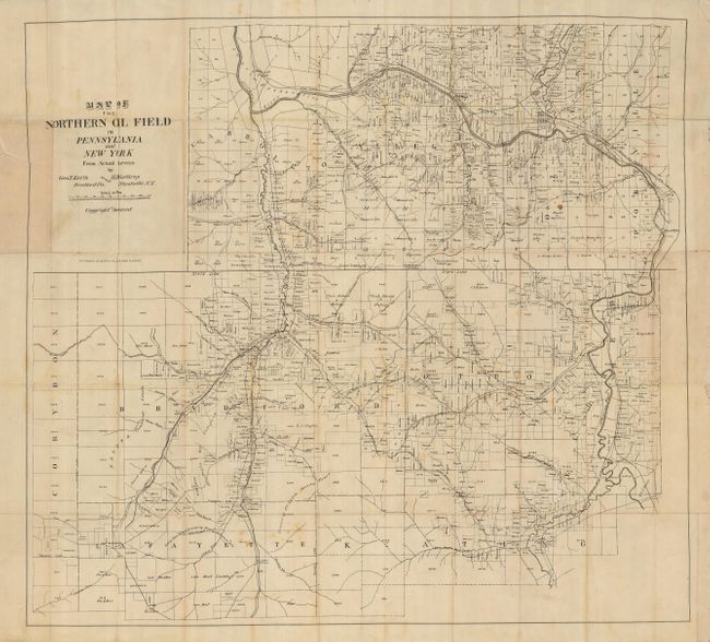
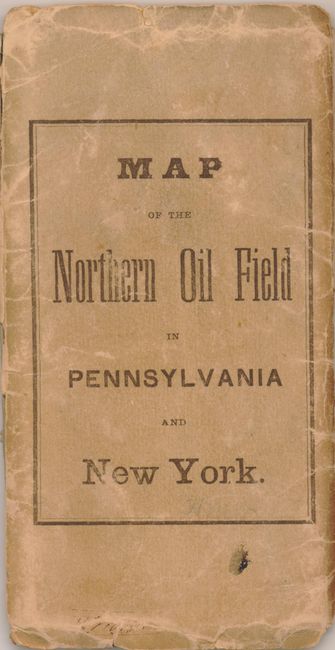
"Map of the Northern Oil Field in Pennsylvania and New York",

Subject: Pennsylvania, New York, Oil Fields

Period: 1870 (circa)

Publication:

Color: Black & White

Size:
34 x 30.5 inches
86.4 x 77.5 cm
Download High Resolution Image
(or just click on image to launch the Zoom viewer)

This scarce pocket map delineates the oil regions from actual surveys by Geo. T. Keith and H.S. Northrup. Centered on the PA/NY state line, the map extends from the Allegany River valley at the east, north to Allegany, south to the South Branch of Cole Creek and west beyond Bradford, PA. Very detailed at a scale of approximately 260 rods (approximately .8 miles) to the inch, it shows all land holdings with owner's name, noting those properties leased, roads, individual buildings, watershed, etc. The map locates the Olean pipeline which originates on Horace Beardsley's property and ends in Oleans at a "Pipeline Tank." This line pre-dates the first major oil pipeline laid by Standard Oil in 1881. Originating in Olean it ran 315 miles to Bayonne. Oil was first found in North America in 1623 only twelve miles from Olean. Also locates and names all railroads including the Erie; Buffalo, New York, and Philadelphia; and the Buffalo & McKean lines. Olean was first named Hamilton in honor of Alexander Hamilton, later renamed Olean from the Latin word for oil. Folds into original paper cover with the same title as the map. A fascinating and early map for the collector of oil related material.

References:

Condition: B+

Back cover is missing. Front cover is a little soiled with some edge tears. Map has occasional foxing and with some splits at fold intersections, common for a map of this size folded down to 3" x 6".

Estimate: $400 - $600

Sold for: $600

Closed on 9/24/2008

Archived