Catalog Archive
Auction 125, Lot 257

"Kauai Territory of Hawaii", Hawaii Territorial Surveys

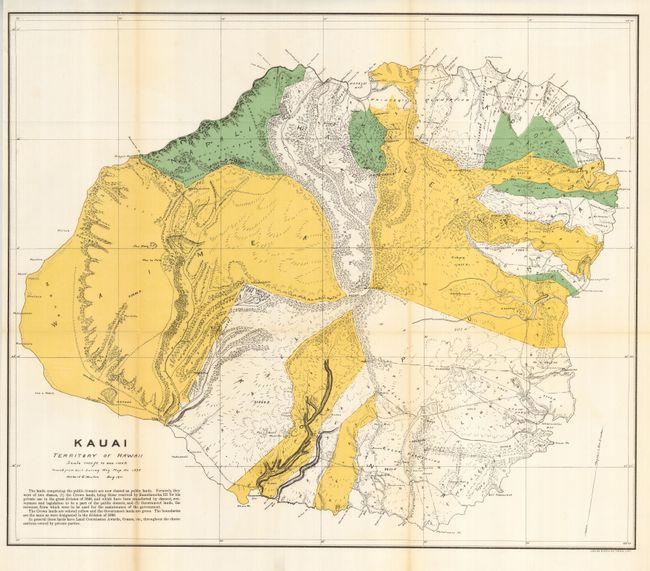
Subject: Hawaii, Kauai

Period: 1901 (dated)

Publication:

Color: Printed Color

Size:
22 x 19 inches
55.9 x 48.3 cm
Download High Resolution Image
(or just click on image to launch the Zoom viewer)

This uncommon and brilliantly colored map details the topography of the island. It also locates the Koloa Plantation, Princeville Plantation, etc. The map uses color to distinguish Crown lands, awarded to King Kamehameha III in 1848, in yellow, the Public lands in green and private lands left uncolored. Great detail of coastal regions with all points, bays and beaches named. Hawaii's monarchy was overthrown in 1893, and this map was prepared in August 1901 by Herbert E. Newton from the Gov't Survey map No. 1395. Printed by the Julius Bien Photo Lithography firm. We find no previous sales records for this map.

References:

Condition: A+

Folding, as issued. Bright original color and full margins. One tiny fold intersection split, still fine.

Estimate: $150 - $200

Sold for: $100

Closed on 9/24/2008

Archived