Catalog Archive
Auction 125, Lot 239

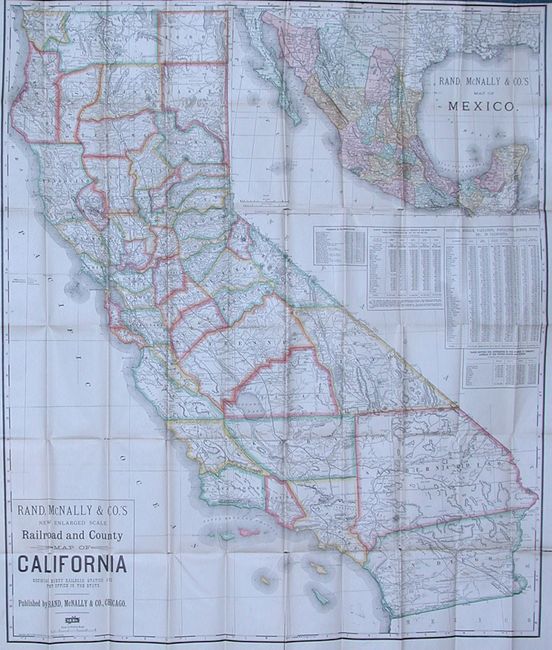
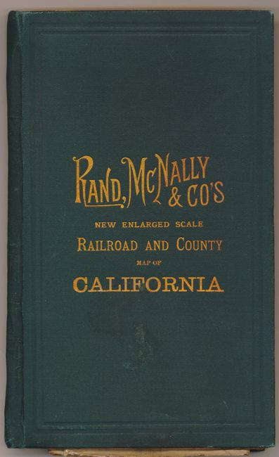
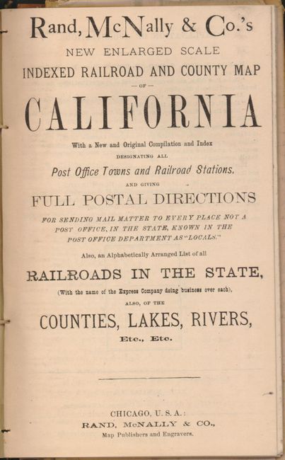
"Rand, McNally & Co.'s New Enlarged Scale Railroad and County Map of California Showing Every Railroad Station and Post Office in the State", Rand McNally & Co.

Subject: California

Period: 1886 (dated)

Publication:

Color: Printed Color

Size:
32 x 37.5 inches
81.3 x 95.3 cm
Download High Resolution Image
(or just click on image to launch the Zoom viewer)

Rand McNally issued two versions of this fine pocket map. This is the less common larger edition that folds into hard green boards with gilt titling rather than the plain paper covers on the smaller pocket map. The map is filled with information including a fine look at the rapidly developing rail system with all stations located and named. The huge San Bernardino County extends from Nevada almost all the way to the Pacific Ocean, stopped short by Los Angeles County, in the area of today's Orange County. Large inset at upper right is a comprehensive map of Mexico. One of several tables gives interesting data on the number acres, real estate value and population by county. The map folds into green cloth covers (4.3" x 7") with 60 page Index to railroads, counties and towns. A very nice pocket map in the less common format.

References:

Condition: B+

The map has bright color and full margins with little or no signs of wear but has some fold splits. The covers are very good with no sign of wear, just a single spot on the front cover.

Estimate: $300 - $400

Sold for: $220

Closed on 9/24/2008

Archived