Catalog Archive
Auction 125, Lot 237

"Geological Reconnaissances in California", Tyson, Philip

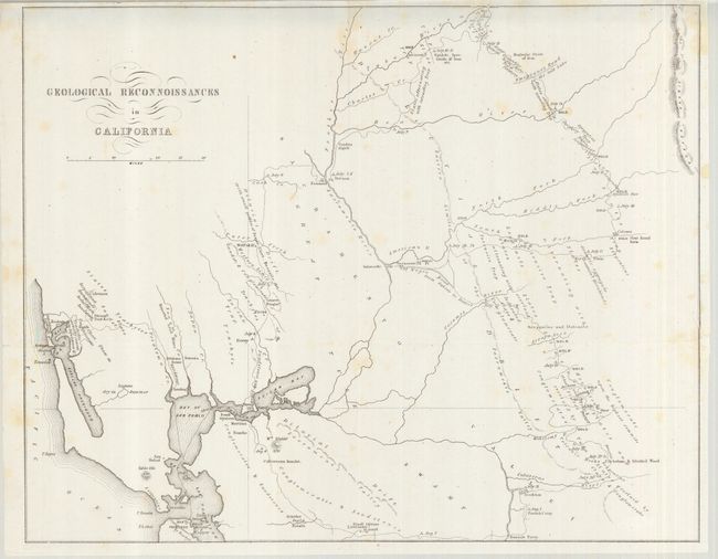
Subject: California, Gold Mining

Period: 1850 (published)

Publication: Senate Doc #47, 31st Congress, 1st Session

Color: Black & White

Size:
14.8 x 11.7 inches
37.6 x 29.7 cm
Download High Resolution Image
(or just click on image to launch the Zoom viewer)

This California Gold Rush map shows the area from San Francisco Bay northeast to the Yuba River and east to the Calaveras River. Published in Tyson's, Report upon the Geology and Topography of California, the map traces his route from San Francisco by way of Vernon to the Yuba diggings, then south past the Emigrant's Road to the Salt Lake, through the gold region to the Calaveras River, and west through Bonsal's Ferry, Livernore’s Ranch and Martinez. It notes dates of his encampments, geological formations and the points where gold was being mined. A detailed and early look at the gold regions.

References: Wheat (Gold) #179.

Condition: A

Issued folding, now pressed. Clean copy with just a little toning at upper center and perfectly closed short split at upper margin.

Estimate: $250 - $350

Sold for: $150

Closed on 9/24/2008

Archived