Catalog Archive
Auction 125, Lot 196
"Map of Kansas, Nebraska and Colorado", Mitchell, Samuel Augustus
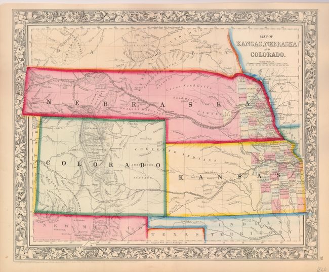
Subject: Central United States
Period: 1860 (dated)
Publication: New General Atlas
Color: Hand Color
Size:
13.8 x 11.5 inches
35.1 x 29.2 cm
Download High Resolution Image
(or just click on image to launch the Zoom viewer)
(or just click on image to launch the Zoom viewer)