Catalog Archive
Auction 125, Lot 181

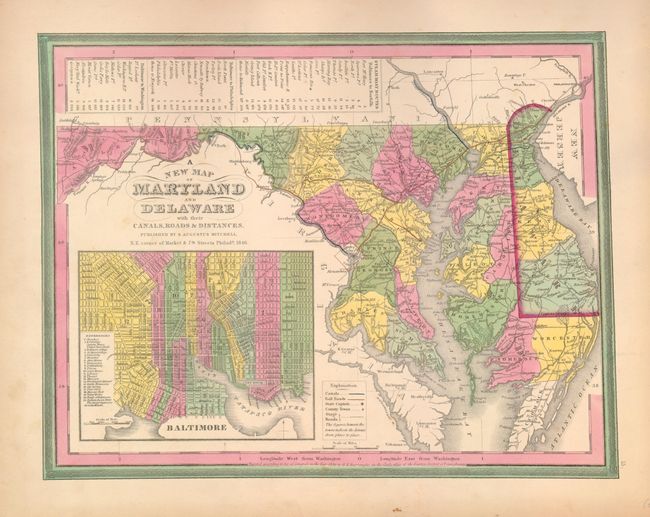
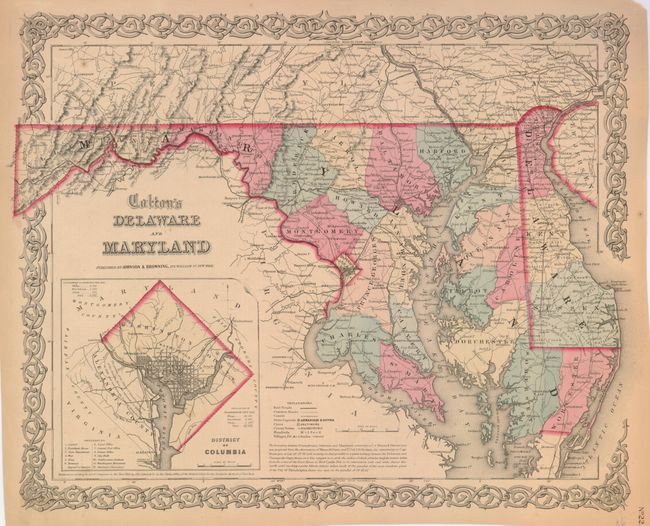
"[Lot of 2] A New Map of Maryland and Delaware with their Canals, Roads & Distances [and] Colton's Delaware and Maryland",

Subject: Maryland and Delaware

Period: 1846-60 (circa)

Publication:

Color: Hand Color

Size:
See Description
Download High Resolution Image
(or just click on image to launch the Zoom viewer)

1) A New Map of Maryland and Delaware…, by S.A. Mitchell, Philadelphia, 1846 (14.5 x 11.3"). This is the first edition of this attractive map with nice detail of the counties, cities, roads and railways. A large inset of Baltimore includes a key to significant buildings and a table at top lists Steam Boat Routes - Baltimore to Norfolk, Baltimore to Philadelphia and Baltimore to Washington.

2) Colton's Delaware and Maryland, by J.H. Colton, New York, 1855 (15.8 x 13"). Detailed state and county map with railroads, roads, canals, cites and villages. Inset of the District of Columbia identifies 12 locations on the grid plan and gives the population (white, free colored and slave) for Georgetown and Washington City in 1850. Scroll borders. Published by Johnson & Browning, circa 1860.

References:

Condition:

First is fine with slight toning in blank margins. Second very good with trimmed but still adequate margins, a couple tears in the margins and border repaired with archival tape.

Estimate: $150 - $200

Sold for: $80

Closed on 9/24/2008

Archived