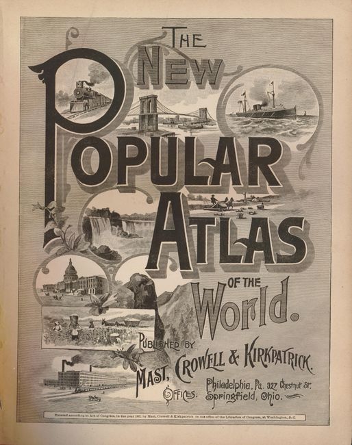
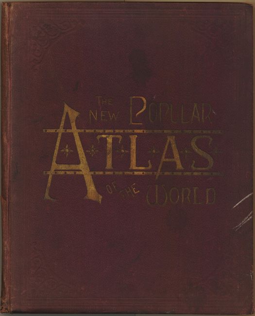
"The New Popular Atlas of the World", Mast, Crowell & Kirkpatrick
Subject: Atlases
Period: 1892 (published)
Publication:
Color: Printed Color
Size:
11 x 14 inches
27.9 x 35.6 cm
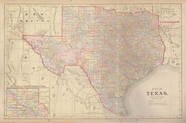
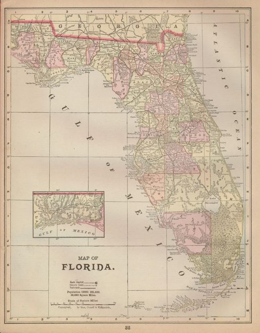
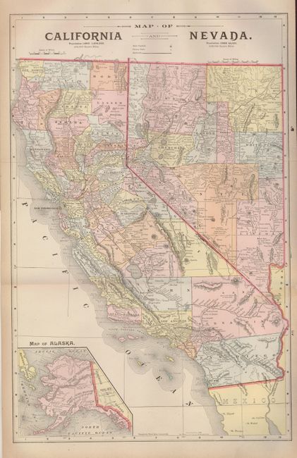
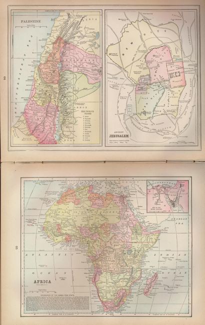
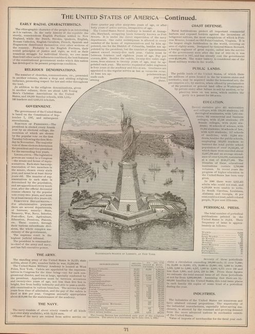
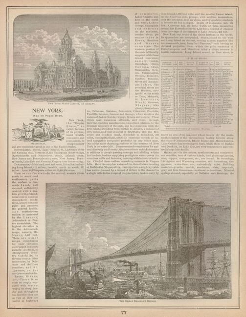
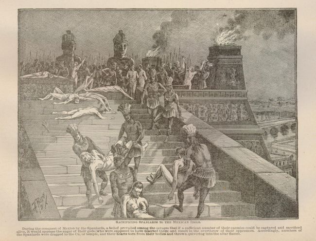
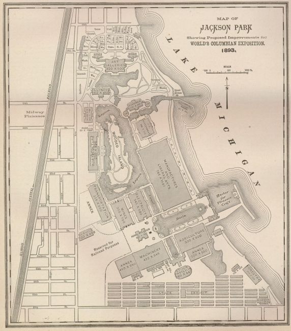
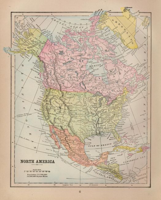
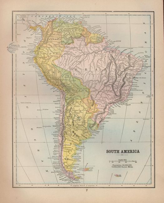
This handsome atlas has more than 50 nicely engraved maps of the individual American states, Ontario, Quebec, Mexico, the continents, the Holy Land and many European countries. There are three double sided, foldout maps of Texas/California and Nevada, Ohio/Illinois, and New York/Pennsylvania. The atlas is densely illustrated with engravings that show important buildings, native ceremonies, influential people and a wide variety of scenery. Also included is a colorful page of the Flags of Various Nations, and a map of the Solar System. 220 pages. Small folio. Hardbound in original burgundy cloth with gilt title on front.
References:
Condition: A
The maps are generally fine. One foldout map is separated from the binding, and has a short tear just into the image at bottom, repaired with clear tape. The map of New York & Pennsylvania has a short fold separation not affecting the image. The front cover is starting. The binding has shelf wear and a some signatures are loosening.