Catalog Archive
Auction 124, Lot 67

"America",

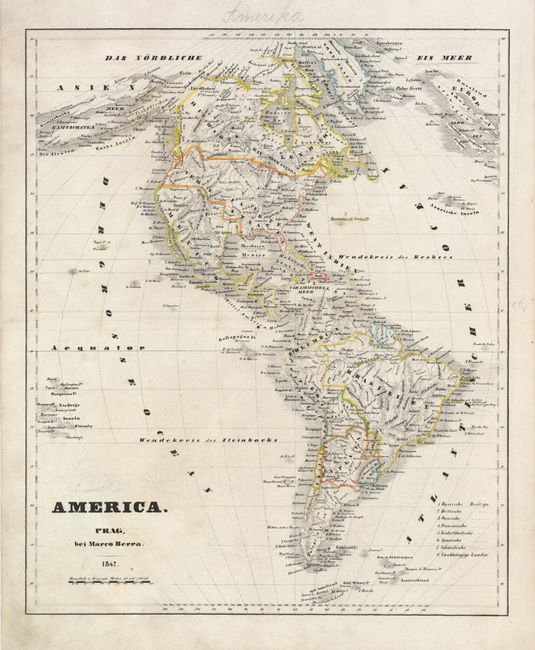
Subject: Western Hemisphere

Period: 1842 (dated)

Publication:

Color: Hand Color

Size:
12.5 x 15.3 inches
31.8 x 38.9 cm
Download High Resolution Image
(or just click on image to launch the Zoom viewer)

The United States and Great Britain established in 1818 joint claim over the Oregon Territory - the region north of Spanish controlled Upper California up to the southern boundary of Russia's Alaska Territory at North latitude 54°40'. By the late 1830's this arrangement was beginning to fall apart. In the 1840's the expansionist Democrats, including their 1844 presidential candidate, James Polk, claimed the entire region for the United States. Their expansionist desires were expressed by Polk's famous campaign slogan, "Fifty-four Forty or Fight!" The slogan also became a rally cry for Americans desiring to settle the territory. Following Polk's election, the dispute was resolved by the 1846 Treaty of Oregon, which struck a compromise that fixed the U.S./Canadian boundary at 49º North.

This is an extremely uncommon map of the Americas published in Prague by Marco Berra. The map was probably copied from Carl Ferdinand Weiland's similar map but is not credited. Marco Berra is better know for his music publications. The map shows Texas, Tetaus, as part of Mexico, along with the rest of the Southwest. The northern border extends U.S. claims into Canada.

References:

Condition: B+

Original outline color on a sheet with some scattered pencil marks.

Estimate: $180 - $250

Unsold

Closed on 5/7/2008

Archived