Catalog Archive
Auction 124, Lot 674

"Kaart van de Papoasche Eilanden", Tirion, Isaac

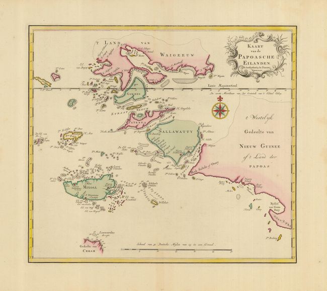
Subject: East Indies - Indonesia

Period: 1753 (dated)

Publication: Nieuwe en Beknopte Hand Atlas

Color: Hand Color

Size:
14.2 x 12.5 inches
36.1 x 31.8 cm
Download High Resolution Image
(or just click on image to launch the Zoom viewer)

A beautifully engraved chart covering the western end of Papua New Guinea and to the west part of the Spice Islands (Sallawatty, Patenta, Gammen, Land van Waigeeuw, Popo, Misool and part of Seram). Many smaller islands are detailed and depths are shown near Seram and to the east of Misool. The islands are shown with some indistict coastlines. Embellished with a fine compass rose and decorative title cartouche.

References:

Condition: A

Nice impression and original color on a strong sheet with wide margins. There is some faint toning in the margins, not affecting the map which is fine.

Estimate: $250 - $300

Unsold

Closed on 5/7/2008

Archived