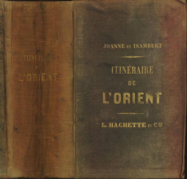
"Itineraire Descriptif, Historique et Archeologique de l'Orient", Dufour, Auguste-Henri
Subject: Eastern Mediterranean
Period: 1861 (published)
Publication:
Color: Black & White
Size:
5 x 7.3 inches
12.7 x 18.5 cm
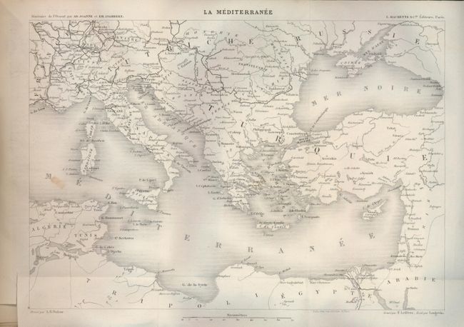
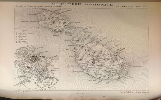
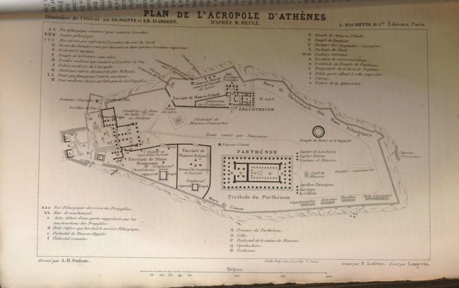
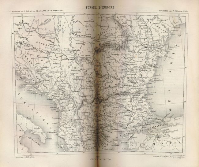
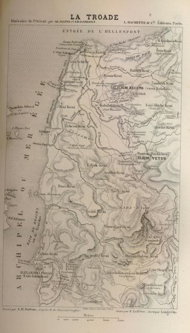
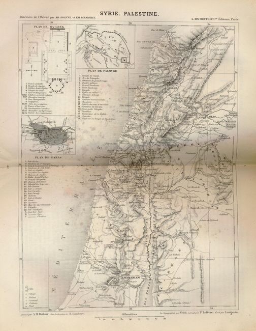
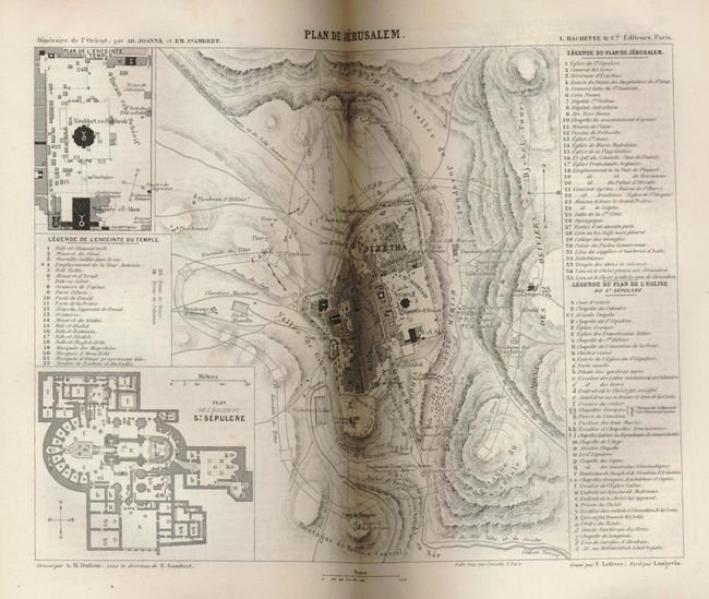
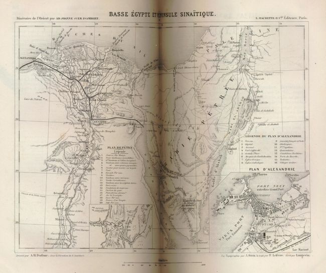
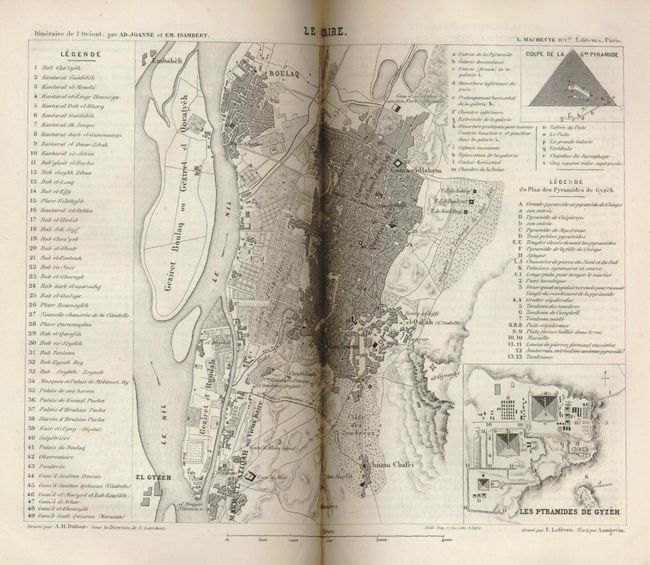
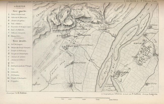
An early edition of this comprehensive travel guide covering the eastern Mediterranean region. The foldout chart, La Mediterranee, was drawn by A.H. Dufour and engraved by F. Lefevre. The finely engraved, full-page map of the Archipel de Malte includes an inset plan of the city of Valette, and the other maps incorporate the other plans called for on the title page. 1104 pp., 12 maps, plus 12 pages of advertisements. Thick 12 mo. Original green cloth over flexible boards and gilt title on front and spine.
References:
Condition: B+
The contents and maps are generally very good with some toning and soiling along the page edges. The covers and spine are soiled, faded, and with some minor creasing.