Catalog Archive
Auction 124, Lot 534

"A Complete Map of the Crimea Showing the Military and Carriage Roads…", Desilver, Charles
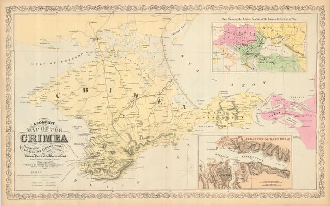
Subject: Crimea

Period: 1856 (dated)

Publication:

Color: Hand Color

Size:
26.3 x 16 inches
66.8 x 40.6 cm
Download High Resolution Image
(or just click on image to launch the Zoom viewer)

This large map presents details of the Crimean Peninsula with particular emphasis on the roads. It is inset with a map showing the relative position of the Crimea, which at the time was embroiled in the Crimean War. Another fine, detailed inset shows Sebastopol harbor. The map is surrounded in Desilver's distinctive scroll border.

References:

Condition: A

Margins lightly toned.

Estimate: $70 - $100

Sold for: $65

Closed on 5/7/2008

Archived