Catalog Archive
Auction 124, Lot 517

"Le Royaume de Boheme, le Duche de Silesie, et les Marquisats de Moravie et Lusace", Robert de Vaugondy, Gilles

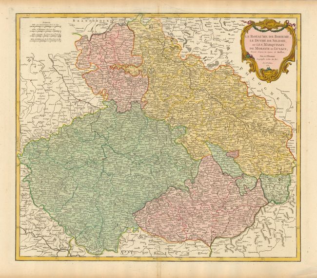
Subject: Central Europe - Czech Republic, Poland

Period: 1751 (dated)

Publication: Atlas Universel

Color: Hand Color

Size:
21.8 x 19 inches
55.4 x 48.3 cm
Download High Resolution Image
(or just click on image to launch the Zoom viewer)

The first state of this delicately engraved map covers the heart of Europe, the former duchies of Bohemia, Silesia, Moravia and Lusatia. Based on the cartography of Johann Muller, the map is focused roughly on Konigsgratz (Konigingratz), and extends to include the southwestern part of Poland and the eastern part of Germany. The map is filled with detail, including towns both large and small and topography. A splendid cartouche decorates the top right of the map.

References: Pedley #285.

Condition: A

A sturdy, wide-margined example with a few nearly invisible spots of foxing and a couple minor printer's creases.

Estimate: $375 - $450

Sold for: $275

Closed on 5/7/2008

Archived